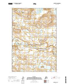
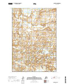
2019 Map of Naknek B-3 SW
USGS Topo · Published 2019About this map
The King Salmon River meanders across this landscape in the Lake and Peninsula Borough of Alaska. This 2019 survey documents a vast expanse of wetland and tundra, where the river's complex oxbows and shifting channels define the local geography. The topographic data reveals the subtle elevation changes of the low-lying river valley within the boundary of the Public Land Survey System grids, specifically noting township and range lines for t21s r47w and t22s r47w. With no roads or permanent settlements recorded, the map highlights the undisturbed natural drainage patterns and the hydrological character of the Bristol Bay region.
Find a feature on this map
5 named features on this map. Tap any name to fly to it.
Don’t see what you’re looking for? This feature index may not catch every label — zoom into the map to look around manually.
Map Details
Editions of this 2019 Naknek B-3 SW Map
This is the sole edition of this map. No revisions or reprints were ever made.
Other maps of this area

1951 · Naknek A-4
USGS Topo · 1:63,360

1951 · Naknek A-3
USGS Topo · 1:63,360

1952 · Naknek
USGS Topo · 1:250,000

1952 · Naknek B-3
USGS Topo · 1:63,360

1952 · Naknek B-4
USGS Topo · 1:63,360

1964 · Naknek
USGS Topo · 1:250,000
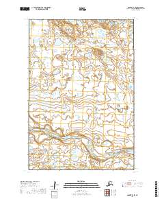
2019 · Naknek B-3 SE
USGS Topo · 1:25,000
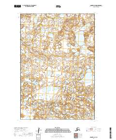
2019 · Naknek B-3 NE
USGS Topo · 1:25,000
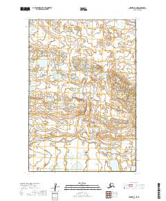
2019 · Naknek A-3 NE
USGS Topo · 1:25,000
2019 · Naknek B-3 NW
USGS Topo · 1:25,000