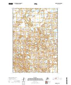
2019 Map of Naknek D-5 NE
USGS Topo · Published 2019About this map
The hydrological landscape of the Dillingham Census Area is characterized here by a dense concentration of small lakes and ponds, punctuated by the winding course of Copenhagen Cr. Flowing southeast through the terrain, this watercourse connects several distinct drainage basins defined by the Public Land Survey System boundaries, including t14s r48w and t15s r48w. The absence of roads or permanent structures reflects the wilderness character of the Naknek D-5 NE quadrangle, where the land remains largely defined by its natural topography and seasonal wetlands. This 2019 survey provides a precise accounting of these remote waterways and elevations, offering a detailed baseline for environmental study and land management in this portion of the Alaska Peninsula.
Find a feature on this map
6 named features on this map. Tap any name to fly to it.
Don’t see what you’re looking for? This feature index may not catch every label — zoom into the map to look around manually.
Map Details
Editions of this 2019 Naknek D-5 NE Map
This is the sole edition of this map. No revisions or reprints were ever made.
Other maps of this area

1951 · Dillingham
USGS Topo · 1:250,000

1952 · Naknek
USGS Topo · 1:250,000

1952 · Dillingham A-5
USGS Topo · 1:63,360

1952 · Dillingham A-4
USGS Topo · 1:63,360

1952 · Naknek D-5
USGS Topo · 1:63,360

1952 · Naknek D-4
USGS Topo · 1:63,360

1954 · Dillingham
USGS Topo · 1:250,000

1964 · Naknek
USGS Topo · 1:250,000
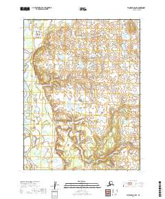
2019 · Dillingham A-5 SE
USGS Topo · 1:25,000
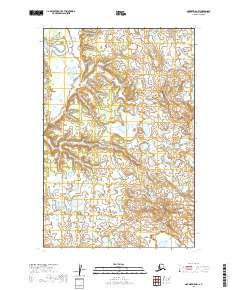
2019 · Naknek D-5 NW
USGS Topo · 1:25,000