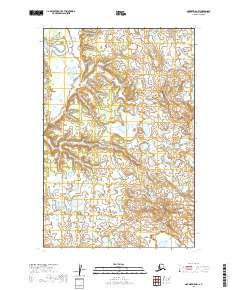
2019 Map of Naknek D-5 NW
USGS Topo · Published 2019About this map
Portage Creek sits as the primary human footprint in this corner of the Dillingham Census Area, positioned amidst a vast network of wetlands and small lakes. The landscape is defined by its intricate hydrography, characterized by the Keefer Cutoff and countless unnamed water bodies that indicate a highly saturated alluvial environment. The mapping reveals a terrain shaped by the seasonal movement of water, where the lack of established roads highlights a reliance on waterways or seasonal trails for local transit. This 2019 survey by the U.S. Geological Survey provides a precise look at the township and range lines across this portion of southwestern Alaska, documenting the intersection of the T14S and T15S R50W boundaries near the main settlement.
Find a feature on this map
7 named features on this map. Tap any name to fly to it.
Don’t see what you’re looking for? This feature index may not catch every label — zoom into the map to look around manually.
Map Details
Editions of this 2019 Naknek D-5 NW Map
This is the sole edition of this map. No revisions or reprints were ever made.
Other maps of this area

1951 · Dillingham
USGS Topo · 1:250,000

1952 · Naknek
USGS Topo · 1:250,000

1952 · Dillingham A-5
USGS Topo · 1:63,360

1952 · Dillingham A-4
USGS Topo · 1:63,360

1952 · Naknek D-5
USGS Topo · 1:63,360

1952 · Naknek D-6
USGS Topo · 1:63,360

1954 · Dillingham
USGS Topo · 1:250,000

1964 · Naknek
USGS Topo · 1:250,000
2019 · Naknek D-6 NE
USGS Topo · 1:25,000
2019 · Dillingham A-5 SE
USGS Topo · 1:25,000