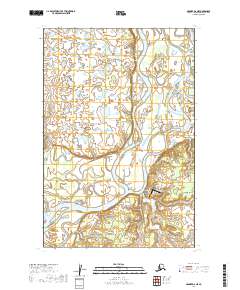
2019 Map of Naknek D-6 NE
USGS Topo · Published 2019About this map
The braided channels of the Nushagak River define this portion of the Dillingham Census Area, where the water complexly shifts through the Keefer Cutoff and Scandinavian Slough. The small settlement of Portage Creek is situated at the southeastern bend of the river, serving as a vital focal point for this riparian landscape. Transportation in this remote region is anchored by the Portage Creek Airport and the singular Red Road, highlighting the reliance on bush aviation and seasonal routes in the Alaskan interior. The map illustrates a transition between broad wetlands and the river's main stem, providing a detailed record of the shifting hydrography and the modest infrastructure that supports life along the Nushagak.
Find a feature on this map
12 named features on this map. Tap any name to fly to it.
Don’t see what you’re looking for? This feature index may not catch every label — zoom into the map to look around manually.
Map Details
Editions of this 2019 Naknek D-6 NE Map
This is the sole edition of this map. No revisions or reprints were ever made.
Other maps of this area

1951 · Dillingham
USGS Topo · 1:250,000

1952 · Naknek
USGS Topo · 1:250,000

1952 · Dillingham A-5
USGS Topo · 1:63,360

1952 · Naknek D-5
USGS Topo · 1:63,360

1952 · Naknek D-6
USGS Topo · 1:63,360

1954 · Dillingham
USGS Topo · 1:250,000

1964 · Naknek
USGS Topo · 1:250,000
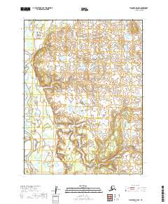
2019 · Dillingham A-5 SE
USGS Topo · 1:25,000
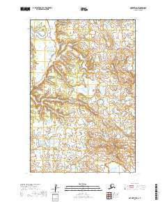
2019 · Naknek D-5 NW
USGS Topo · 1:25,000
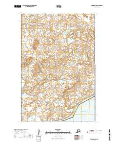
2019 · Naknek D-5 SW
USGS Topo · 1:25,000