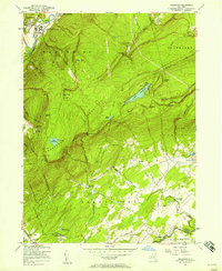
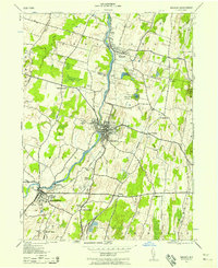
1956 Map of Napanoch
USGS Topo · Published 1958About this map
The Shawangunk Mountains dominate this mid-century landscape, creating a dramatic physical divide between the valley settlements. In the northwest, the village of Napanoch is defined by the heavy infrastructure of the New York Ontario and Western railroad and the State Institution for Male Defective Delinquents. The heights of the range remain largely undeveloped, preserved as a primitive upland characterized by high-altitude water bodies like Lake Awosting and Lake Maratanza, along with landmarks such as Sams Point and Indian Rock.
Find a feature on this map
56 named features on this map. Tap any name to fly to it.
Don’t see what you’re looking for? This feature index may not catch every label — zoom into the map to look around manually.
Map Details
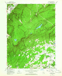
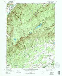
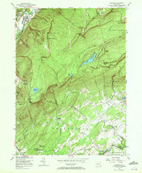
Editions of this 1956 Napanoch Map
4 editions found
Other maps of this area

1901 · Rosendale
USGS Topo · 1:62,500

1903 · Newburg
USGS Topo · 1:62,500

1903 · Rosendale
USGS Topo · 1:62,500

1903 · Slide Mountain
USGS Topo · 1:62,500

1904 · Ellenville
USGS Topo · 1:62,500

1905 · Slide Mountain
USGS Topo · 1:62,500

1906 · Ellenville
USGS Topo · 1:62,500
1942 · Walden
USGS Topo · 1:24,000

1942 · Lackawack
USGS Topo · 1:24,000

1942 · Kerhonkson
USGS Topo · 1:24,000