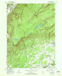
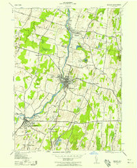
1956 Map of Napanoch
USGS Topo · Published 1972About this map
The Shawangunk Mountains dominate this 1950s landscape, a region defined by dramatic vertical relief and significant institutional footprints. In the northwest, the settlement of Napanoch sits at the confluence of Rondout Creek and the New York Ontario and Western railroad. This area is notably home to the State Institution for Male Defective Delinquents and a N Y C Bureau of Water Supply facility, indicating the corridor's role in state-level infrastructure and water management.
Find a feature on this map
52 named features on this map. Tap any name to fly to it.
Don’t see what you’re looking for? This feature index may not catch every label — zoom into the map to look around manually.
Map Details
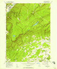
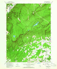
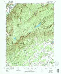
Editions of this 1956 Napanoch Map
4 editions found
Other maps of this area

1901 · Rosendale
USGS Topo · 1:62,500

1903 · Newburg
USGS Topo · 1:62,500

1903 · Rosendale
USGS Topo · 1:62,500

1903 · Slide Mountain
USGS Topo · 1:62,500

1904 · Ellenville
USGS Topo · 1:62,500

1905 · Slide Mountain
USGS Topo · 1:62,500

1906 · Ellenville
USGS Topo · 1:62,500
1942 · Walden
USGS Topo · 1:24,000

1942 · Lackawack
USGS Topo · 1:24,000

1942 · Kerhonkson
USGS Topo · 1:24,000