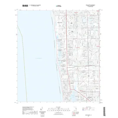
2021 Map of Naples North
USGS Topo · Published 2021About this map
The coastal geography of Naples and its surrounding communities is defined by a dense network of inlets and lagoons along the Gulf of Mexico. This modern survey illustrates the intensive development of the Florida shoreline, where luxury residential enclaves like Pelican Bay and Pine Ridge are integrated with complex waterways including Venetian Bay, Moorings Bay, and Hurricane Harbor. The map reveals a unique local pattern of memorialization, with numerous church garden cemeteries such as the Moorings Presbyterian Church Memorial Garden Cem and Emmanuel Lutheran Church Memorial Garden Cem serving the community's spiritual needs.
Find a feature on this map
43 named features on this map. Tap any name to fly to it.
Don’t see what you’re looking for? This feature index may not catch every label — zoom into the map to look around manually.
Map Details
Editions of this 2021 Naples North Map
This is the sole edition of this map. No revisions or reprints were ever made.
Other maps of this area

1956 · West Palm Beach
USGS Topo · 1:250,000

1957 · West Palm Beach
USGS Topo · 1:250,000

1958 · West Palm Beach
USGS Topo · 1:250,000

1958 · Bonita Springs
USGS Topo · 1:24,000

1958 · Belle Meade
USGS Topo · 1:24,000

1958 · Naples South
USGS Topo · 1:24,000

1958 · Belle Meade NW
USGS Topo · 1:24,000

1958 · Corkscrew SW
USGS Topo · 1:24,000

1958 · Naples North
USGS Topo · 1:24,000
1985 · Naples
USGS Topo · 1:100,000