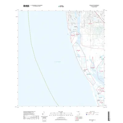
2018 Map of Naples South
USGS Topo · Published 2018About this map
Naples sits at the northern edge of this coastal survey, where the dense residential grid meets the intricate waterways of the Gulf coast. The map illustrates the complex transition from urban development to protected wetlands, as streets like Gordon Dr and Admiralty Parade give way to the expansive reaches of Naples Bay and the navigational opening at Gordon Pass. Beyond the city limits, the landscape dissolves into a network of islands and shallow bays, including Keewaydin Island and Dollar Bay, which buffer the mainland from the Gulf Of Mexico.
Find a feature on this map
52 named features on this map. Tap any name to fly to it.
Don’t see what you’re looking for? This feature index may not catch every label — zoom into the map to look around manually.
Map Details
Editions of this 2018 Naples South Map
This is the sole edition of this map. No revisions or reprints were ever made.
Other maps of this area

1956 · Miami
USGS Topo · 1:250,000

1956 · West Palm Beach
USGS Topo · 1:250,000

1957 · West Palm Beach
USGS Topo · 1:250,000

1958 · West Palm Beach
USGS Topo · 1:250,000

1958 · Miami
USGS Topo · 1:250,000

1958 · Belle Meade
USGS Topo · 1:24,000

1958 · Naples South
USGS Topo · 1:24,000

1958 · Belle Meade NW
USGS Topo · 1:24,000

1958 · Naples North
USGS Topo · 1:24,000

1973 · Marco Island
USGS Topo · 1:24,000