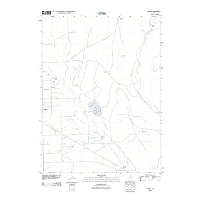
2011 Map of Naples
USGS Topo · Published 2011About this map
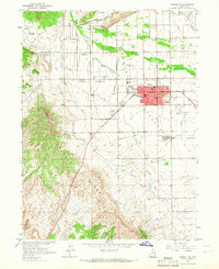
Naples serves as the primary residential hub on this survey, situated at the intersection of a precise grid of local roads and the prominent Old Hwy 40. The landscape to the east and north shifts toward more varied terrain, where the Buckskin Hills and the expansive Sunshine Bench dominate the topography. Water management is a central theme of this arid region, evidenced by a series of engineered features including the Herman-Sadlier Reservoir and its associated Herman-Sadlier Dam, alongside the Burns Bench Reservoir and Bullwinkle Reservoir.
Find a feature on this map
31 named features on this map. Tap any name to fly to it.
Don’t see what you’re looking for? This feature index may not catch every label — zoom into the map to look around manually.
Map Details
Editions of this 2011 Naples Map
This is the sole edition of this map. No revisions or reprints were ever made.
Other maps of this area

1885 · Ashley
USGS Topo · 1:250,000
1906 · Marsh Peak
USGS Topo · 1:125,000
1907 · Jensen
USGS Topo · 1:125,000
1908 · Marsh Peak
USGS Topo · 1:125,000
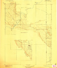
1910 · Jensen
USGS Topo · 1:125,000
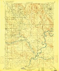
1917 · Vernal
USGS Topo · 1:125,000

1954 · Vernal
USGS Topo · 1:250,000
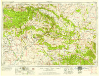
1958 · Vernal
USGS Topo · 1:250,000
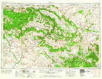
1960 · Vernal
USGS Topo · 1:250,000
1964 · Vernal NE
USGS Topo · 1:24,000