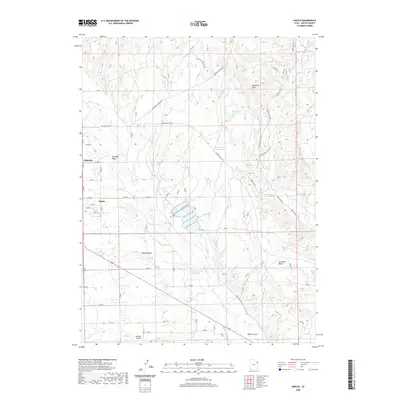
2020 Map of Naples
USGS Topo · Published 2020About this map
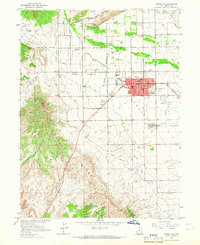
Ashley Valley serves as the focal point for this 2020 landscape, illustrating the modern rural-urban transition between Vernal and the adjacent community of Naples. The map details a sophisticated network of irrigation and water management essential for high-desert life, including the Bullwinkle Reservoir, Burns Bench Reservoir, and the Herman-Sadlier Reservoir. These water bodies are connected by the natural drainage of Ashley Cr as it flows south toward the larger valley floor.
Find a feature on this map
36 named features on this map. Tap any name to fly to it.
Don’t see what you’re looking for? This feature index may not catch every label — zoom into the map to look around manually.
Map Details
Editions of this 2020 Naples Map
This is the sole edition of this map. No revisions or reprints were ever made.
Other maps of this area

1885 · Ashley
USGS Topo · 1:250,000
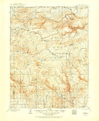
1906 · Marsh Peak
USGS Topo · 1:125,000
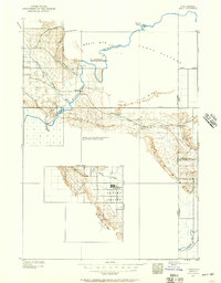
1907 · Jensen
USGS Topo · 1:125,000
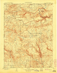
1908 · Marsh Peak
USGS Topo · 1:125,000
1910 · Jensen
USGS Topo · 1:125,000
1917 · Vernal
USGS Topo · 1:125,000

1954 · Vernal
USGS Topo · 1:250,000
1958 · Vernal
USGS Topo · 1:250,000
1960 · Vernal
USGS Topo · 1:250,000
1964 · Vernal NE
USGS Topo · 1:24,000