Loading...
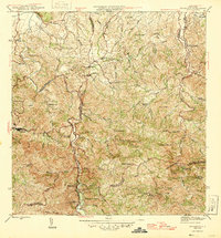
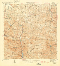
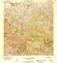
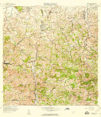
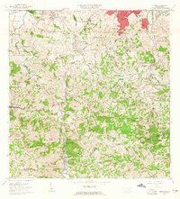
Loading map...1946 Map of Naranjito
USGS Topo · Published 1946About this map
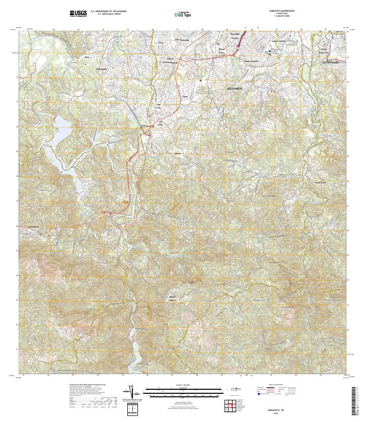
Naranjito and the surrounding central highlands of Puerto Rico are defined by the deep, winding path of the Río Plata, which snakes through a complex network of ridges and quebradas. In the mid-1940s, this landscape was a mosaic of agricultural colonias and small hilltop settlements, where local life centered around numerous neighborhood chapels like Iglesia de Minillas and Iglesia Guadiana. The geography reveals a distinct pattern of movement along the narrow ridgelines, away from the steep river valleys.
Find a feature on this map
44 named features on this map. Tap any name to fly to it.
Don’t see what you’re looking for? This feature index may not catch every label — zoom into the map to look around manually.
Map Details
Date Portrayed1946
Date Published1946
PublisherU.S. Geological Survey
Map TypeTopographic
Scale1:30,000
Physical Dimensions19.8 x 21.3 inches
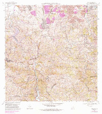
Editions of this 1946 Naranjito Map
3 editions found

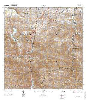
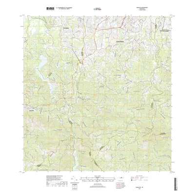
Historical Maps of Naranjito Through Time
8 maps found
Featured Locations
- Sector González, Bayamón
- Sector La Capilla, Bayamón
- Villas del Olimpo, Bayamón
- Naranjito, Naranjito
- Sector Correa, Naranjito
Source Details
SourceU.S. Geological Survey
CopyrightPublic Domain