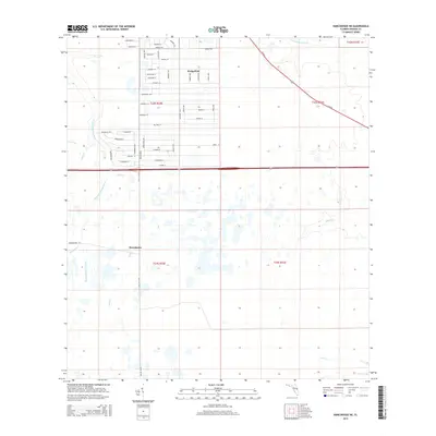
2015 Map of Narcoossee NE
USGS Topo · Published 2015About this map
The suburban residential grid of Wedgefield stands in sharp contrast to the surrounding Florida wetlands and riparian corridors during this 2015 survey. This planned community is defined by an extensive network of named thoroughfares such as Oberly Pky, Quarterly Pky, and Reynolds Pky, surrounded by the naturally winding paths of the Econlockhatchee River and its tributaries, including Turkey Cr and Little Cr. To the south, the landscape shifts toward the smaller settlement of Wewahotee, where the Disston Canal and Wewahotee Rd provide the primary infrastructure. This period shows a region in transition, where large-scale modern residential development meets the traditional drainage systems of the Florida interior. Several named waterways, such as Tootoosahatchee Cr and Jim Cr, remain largely untouched by the encroaching street grids, preserving the historical hydrography of Orange County.
Find a feature on this map
59 named features on this map. Tap any name to fly to it.
Don’t see what you’re looking for? This feature index may not catch every label — zoom into the map to look around manually.
Map Details
Editions of this 2015 Narcoossee NE Map
This is the sole edition of this map. No revisions or reprints were ever made.
Other maps of this area

1953 · Narcoossee NE
USGS Topo · 1:24,000

1953 · Narcoossee SE
USGS Topo · 1:24,000

1953 · Narcoossee
USGS Topo · 1:24,000

1953 · Lake Poinsett SW
USGS Topo · 1:24,000

1953 · Titusville SW
USGS Topo · 1:24,000

1953 · Oviedo SW
USGS Topo · 1:24,000

1953 · Lake Poinsett NW
USGS Topo · 1:24,000

1953 · Narcoossee NW
USGS Topo · 1:24,000

1953 · Bithlo
USGS Topo · 1:24,000

1955 · Orlando
USGS Topo · 1:250,000