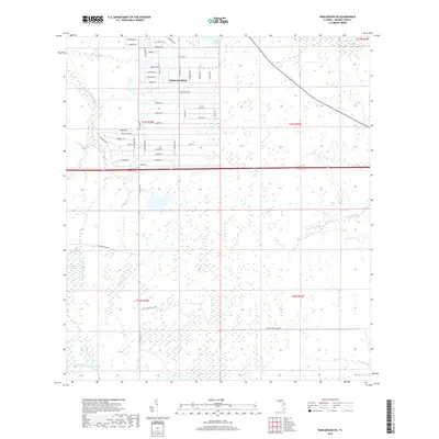
2018 Map of Narcoossee NE
USGS Topo · Published 2018About this map
The master-planned community of Wedgefield occupies the center of this terrain in Orange County, showing a transition from dense residential street grids like Ralston St and Dallas Blvd to the preserved wetlands of the east. These residential blocks are bounded by the natural hydrology of the Florida interior, where the Econlockhatchee River and its accompanying Econlockhatchee River Swamp dominate the western edge of the quadrangle.
Find a feature on this map
62 named features on this map. Tap any name to fly to it.
Don’t see what you’re looking for? This feature index may not catch every label — zoom into the map to look around manually.
Map Details
Editions of this 2018 Narcoossee NE Map
This is the sole edition of this map. No revisions or reprints were ever made.
Other maps of this area

1953 · Narcoossee NE
USGS Topo · 1:24,000

1953 · Narcoossee SE
USGS Topo · 1:24,000

1953 · Narcoossee
USGS Topo · 1:24,000

1953 · Lake Poinsett SW
USGS Topo · 1:24,000

1953 · Titusville SW
USGS Topo · 1:24,000

1953 · Oviedo SW
USGS Topo · 1:24,000

1953 · Lake Poinsett NW
USGS Topo · 1:24,000

1953 · Narcoossee NW
USGS Topo · 1:24,000

1953 · Bithlo
USGS Topo · 1:24,000

1955 · Orlando
USGS Topo · 1:250,000