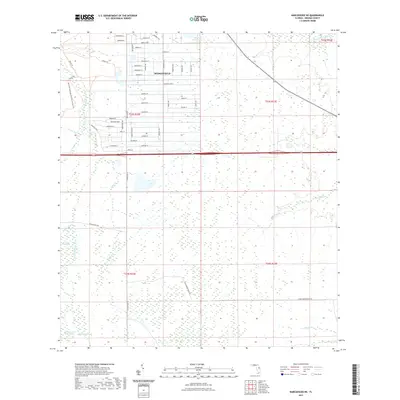
2021 Map of Narcoossee NE
USGS Topo · Published 2021About this map
The residential community of Wedgefield stands as a structured pocket of development amidst a complex hydrological landscape in eastern Orange County. This 2021 survey details a dense grid of residential streets such as Bancroft Blvd, Oberly Pkwy, and Ralston St, contrasting sharply with the wilder wetlands to the south and west. The Econlockhatchee River and its accompanying Econlockhatchee River Swamp dominate the western edge of the map, protected in part by the Hal Scott Regional Preserve and Park.
Find a feature on this map
60 named features on this map. Tap any name to fly to it.
Don’t see what you’re looking for? This feature index may not catch every label — zoom into the map to look around manually.
Map Details
Editions of this 2021 Narcoossee NE Map
This is the sole edition of this map. No revisions or reprints were ever made.
Other maps of this area

1953 · Narcoossee NE
USGS Topo · 1:24,000

1953 · Narcoossee SE
USGS Topo · 1:24,000

1953 · Narcoossee
USGS Topo · 1:24,000

1953 · Lake Poinsett SW
USGS Topo · 1:24,000

1953 · Titusville SW
USGS Topo · 1:24,000

1953 · Oviedo SW
USGS Topo · 1:24,000

1953 · Lake Poinsett NW
USGS Topo · 1:24,000

1953 · Narcoossee NW
USGS Topo · 1:24,000

1953 · Bithlo
USGS Topo · 1:24,000

1955 · Orlando
USGS Topo · 1:250,000