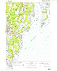
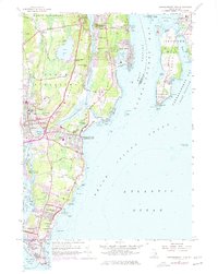
1957 Map of Narragansett Pier
USGS Topo · Published 1959About this map
Narragansett Pier serves as the focal point of this coastal survey, reflecting a mid-century landscape of established beach communities and active military installations. The map traces the varied shoreline from the residential enclaves of Bonnet Shores and Indian Lake Shores down to the tactical positions at Fort Nathaniel Greene near Point Judith. The interior reveals a mix of local history and recreation, featuring the Point Judith Country Club and family-named landmarks like McSparran Hill and Rose Hill.
Find a feature on this map
119 named features on this map. Tap any name to fly to it.
Don’t see what you’re looking for? This feature index may not catch every label — zoom into the map to look around manually.
Map Details
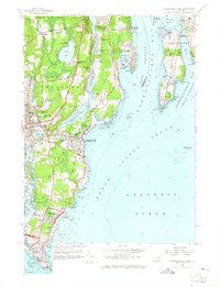
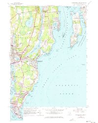
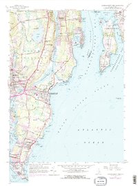
Editions of this 1957 Narragansett Pier Map
5 editions found
Other maps of this area

1889 · Charlestown
USGS Topo · 1:62,500

1889 · Newport
USGS Topo · 1:62,500

1890 · Narragansett Bay
USGS Topo · 1:62,500

1890 · Kent
USGS Topo · 1:62,500

1892 · Narragansett Bay
USGS Topo · 1:62,500

1894 · Kent
USGS Topo · 1:62,500

1894 · Newport
USGS Topo · 1:62,500

1904 · Newport
USGS Topo · 1:62,500

1919 · Charlestown
USGS Topo · 1:62,500

1919 · Narragansett Bay
USGS Topo · 1:62,500