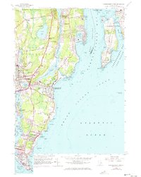
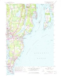
1957 Map of Narragansett Pier
USGS Topo · Published 1973About this map
Pettaquamscutt River flows through the heart of this coastal region, separating the residential expansions of Indian Lake Shores and Bridgetown from the rocky coastline of Bonnet Shores. The landscape is defined by the transition from established villages like Wakefield and Peace Dale toward the recreational and military developments of the mid-20th century. Along the Atlantic shore, Narragansett Pier appears as a primary hub of activity, while the coastline to the south is increasingly dedicated to public spaces such as Scarborough State Beach and Fishermans Memorial State Park.
Find a feature on this map
117 named features on this map. Tap any name to fly to it.
Don’t see what you’re looking for? This feature index may not catch every label — zoom into the map to look around manually.
Map Details
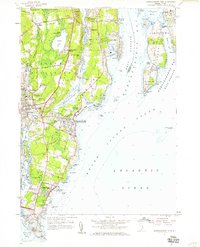
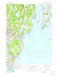
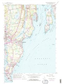
Editions of this 1957 Narragansett Pier Map
5 editions found
Other maps of this area

1889 · Charlestown
USGS Topo · 1:62,500

1889 · Newport
USGS Topo · 1:62,500

1890 · Narragansett Bay
USGS Topo · 1:62,500

1890 · Kent
USGS Topo · 1:62,500

1892 · Narragansett Bay
USGS Topo · 1:62,500

1894 · Kent
USGS Topo · 1:62,500

1894 · Newport
USGS Topo · 1:62,500

1904 · Newport
USGS Topo · 1:62,500

1919 · Charlestown
USGS Topo · 1:62,500

1919 · Narragansett Bay
USGS Topo · 1:62,500