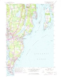
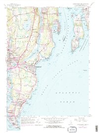
1957 Map of Narragansett Pier
USGS Topo · Published 1976About this map
The coastal village of Narragansett Pier sits at the heart of this mid-century shoreline survey, revealing a landscape defined by its transition from historic fishing and farming roots to a premier summer destination. The southern tip of Rhode Island is heavily fortified here, with significant military footprints at Fort Nathaniel Greene, Fort Burnside, and Fort Varnum guarding the entrances to West Passage and the Atlantic Ocean.
Find a feature on this map
95 named features on this map. Tap any name to fly to it.
Don’t see what you’re looking for? This feature index may not catch every label — zoom into the map to look around manually.
Map Details
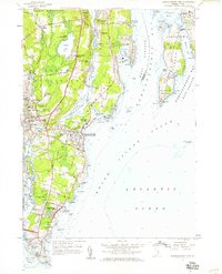
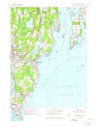
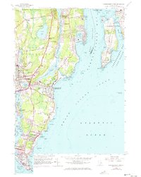
Editions of this 1957 Narragansett Pier Map
5 editions found
Other maps of this area

1889 · Charlestown
USGS Topo · 1:62,500

1889 · Newport
USGS Topo · 1:62,500

1890 · Narragansett Bay
USGS Topo · 1:62,500

1890 · Kent
USGS Topo · 1:62,500

1892 · Narragansett Bay
USGS Topo · 1:62,500

1894 · Kent
USGS Topo · 1:62,500

1894 · Newport
USGS Topo · 1:62,500

1904 · Newport
USGS Topo · 1:62,500

1919 · Charlestown
USGS Topo · 1:62,500

1919 · Narragansett Bay
USGS Topo · 1:62,500