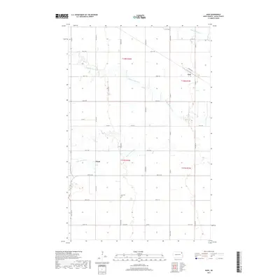
2017 Map of Nash
USGS Topo · Published 2017About this map
Nash and Mandt anchor this agricultural landscape in northern Walsh County, where the three branches of the Park River weave through the section-line grid. The North Br Park River, Middle Br Park River, and South Br Park River provide the primary topographic relief in an area otherwise dominated by the geometric precision of the Public Land Survey System. Genealogists and local historians can locate the Concordia Cem situated along 142nd Ave NE, a central landmark for the surrounding rural community. The map reflects a highly organized transport network defined by routes like Co Hwy 11 and Co Rd 8, which connect these dispersed settlements and facilitate the movement of goods and people across the Red River Valley hinterlands.
Find a feature on this map
32 named features on this map. Tap any name to fly to it.
Don’t see what you’re looking for? This feature index may not catch every label — zoom into the map to look around manually.
Map Details
Editions of this 2017 Nash Map
This is the sole edition of this map. No revisions or reprints were ever made.
Other maps of this area

1939 · Glasston
USGS Topo · 1:62,500

1941 · Glasston
USGS Topo · 1:62,500

1943 · Grafton
USGS Topo · 1:62,500

1944 · Crystal
USGS Topo · 1:62,500

1952 · Thief River Falls
USGS Topo · 1:250,000

1956 · Thief River Falls
USGS Topo · 1:250,000

1957 · Thief River Falls
USGS Topo · 1:250,000

1960 · Grafton
USGS Topo · 1:24,000

1963 · Crystal SE
USGS Topo · 1:24,000

1963 · Crystal
USGS Topo · 1:24,000