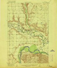
1916 Map of Nashua
USGS Topo · Published 1916About this map
The confluence of the Milk River and the Missouri River dominates this early twentieth-century landscape, where the meandering waterways dictate the placement of transportation and settlement. The Great Northern railroad follows the northern bank of the Milk River, connecting the town of Nashua and the siding at Wiota to the broader regional economy. This era reflects a burgeoning rural educational network, evidenced by the strategic distribution of the Panton School, South Nashua School, Stevens Point School, and Galpin School across the river valleys.
Find a feature on this map
19 named features on this map. Tap any name to fly to it.
Don’t see what you’re looking for? This feature index may not catch every label — zoom into the map to look around manually.
Map Details
Editions of this 1916 Nashua Map
3 editions found
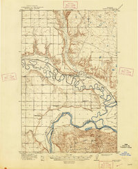
Other maps of this area

1914 · Nashua
USGS Topo · 1:62,500

1915 · Frazer
USGS Topo · 1:62,500

1915 · Spring Creek
USGS Topo · 1:62,500

1916 · Nashua
USGS Topo · 1:62,500

1918 · Porcupine Valley
USGS Topo · 1:62,500

1943 · Glasgow
USGS Topo · 1:125,000

1954 · Jordan
USGS Topo · 1:250,000

1954 · Glasgow
USGS Topo · 1:250,000

1956 · Jordan
USGS Topo · 1:250,000

1957 · Glasgow
USGS Topo · 1:250,000