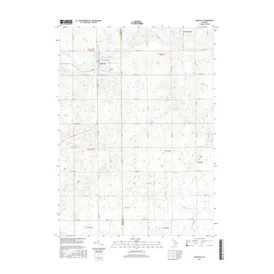
2017 Map of Nashville
USGS Topo · Published 2017About this map
The Thornapple River winds through the northern portion of this landscape, defining the character of Nashville and the surrounding rural townships along the border of Barry and Eaton Counties. This 2017 survey illustrates a stable agrarian pattern of section roads and small-town centers. Family history and local heritage are well-preserved in the numerous burial grounds documented across the sheet, from the central Nashville Cem to the outlying Wilcox Cem and Quaker Cem.
Find a feature on this map
70 named features on this map. Tap any name to fly to it.
Don’t see what you’re looking for? This feature index may not catch every label — zoom into the map to look around manually.
Map Details
Editions of this 2017 Nashville Map
This is the sole edition of this map. No revisions or reprints were ever made.
Other maps of this area

1918 · Battle Creek
USGS Topo · 1:62,500

1921 · Marshall
USGS Topo · 1:62,500

1923 · Marshall
USGS Topo · 1:62,500

1943 · Battle Creek
USGS Topo · 1:62,500

1943 · Marshall
USGS Topo · 1:62,500

1947 · Bellevue
USGS Topo · 1:24,000

1947 · Bedford
USGS Topo · 1:24,000

1949 · Charlotte
USGS Topo · 1:62,500

1950 · Battle Creek
USGS Topo · 1:62,500

1950 · Nashville
USGS Topo · 1:62,500