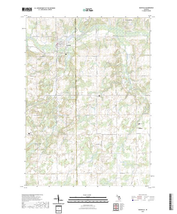
2023 Map of Nashville
USGS Topo · Published 2023About this map
The Thornapple River winds through the village of Nashville in this modern survey of the borderlands between Barry and Eaton counties. This area is defined by its agricultural layout and small, established community centers like Vermontville to the northeast and Kalamo to the south. The landscape is dotted with several family and community burial grounds, including Lakeview Cem, Mason Cem, and Wilcox Cem, which provide essential touchstones for local genealogists. Smaller watercourses such as Scipio Creek, Wanadoga Creek, and Shanty Brook drain the rural terrain, which remains largely shaped by the original Public Land Survey System grid. This map captures the modern state of these crossroads, where local schools like Kalamo Sch and the quiet waters of Mud Lake anchor the surrounding rural neighborhoods.
Find a feature on this map
70 named features on this map. Tap any name to fly to it.
Don’t see what you’re looking for? This feature index may not catch every label — zoom into the map to look around manually.
Map Details
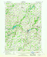
Editions of this 2023 Nashville Map
This is the sole edition of this map. No revisions or reprints were ever made.
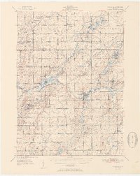
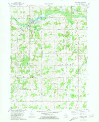
Historical Maps of Nashville Through Time
4 maps found
Featured Locations
- Castleton Township, MI
- Maple Grove Township, MI
- Nashville, Castleton Township
- Vermontville, Vermontville Township
- Kalamo, Kalamo Township