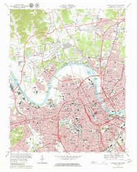
1968 Map of Nashville West
USGS Topo · Published 1980About this map
Nashville and its western suburbs appear here during a period of significant urban expansion, centered on the winding Cumberland River and Cheatham Lake. The map details a dense institutional landscape, featuring major educational centers such as Vanderbilt University, Fisk University, and Meharry Medical College. The administrative heart of the city is anchored by the State Capitol and the Courthouse, while the correctional facilities of the State Penitentiary and the State Prison for Women occupy prominent locations on the river's southern banks.
Find a feature on this map
72 named features on this map. Tap any name to fly to it.
Don’t see what you’re looking for? This feature index may not catch every label — zoom into the map to look around manually.
Map Details
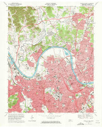
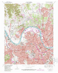
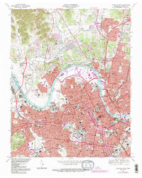
Editions of this 1968 Nashville West Map
4 editions found
Other maps of this area

1903 · Nashville
USGS Topo · 1:125,000

1931 · Ridgetop
USGS Topo · 1:62,500

1932 · Hermitage
USGS Topo · 1:62,500

1932 · Nashville
USGS Topo · 1:62,500

1935 · Ridgetop
USGS Topo · 1:62,500

1942 · Gallatin
USGS Topo · 1:100,000

1942 · Lebanon
USGS Topo · 1:100,000

1952 · Goodlettsville
USGS Topo · 1:24,000

1952 · Nashville West
USGS Topo · 1:24,000

1952 · Nashville East
USGS Topo · 1:24,000