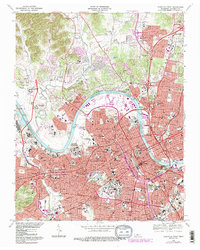
1968 Map of Nashville West
USGS Topo · Published 1984About this map
Nashville and its western suburbs undergo significant infrastructure expansion during the late 1960s, a period marked by the intersecting corridors of the Louisville and Nashville RR and an evolving interstate network. The urban core is anchored by the State Capitol, while the city's educational legacy is prominent through the campuses of Vanderbilt University, Fisk University, and Meharry Medical College. The winding path of the Cumberland River dictates the industrial and institutional layout, passing the State Penitentiary and the State Prison For Women near Bordeaux. In the more residential reaches like Charlotte Park and Berry Hill, local life is mapped through many neighborhood institutions such as St Marys Orphanage and the VA Hospital. This survey documents a critical junction of traditional rail-based industry and the post-war growth of medical and academic centers.
Find a feature on this map
132 named features on this map. Tap any name to fly to it.
Don’t see what you’re looking for? This feature index may not catch every label — zoom into the map to look around manually.
Map Details
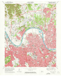
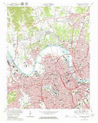
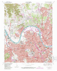
Editions of this 1968 Nashville West Map
4 editions found
Other maps of this area

1903 · Nashville
USGS Topo · 1:125,000

1931 · Ridgetop
USGS Topo · 1:62,500

1932 · Hermitage
USGS Topo · 1:62,500

1932 · Nashville
USGS Topo · 1:62,500

1935 · Ridgetop
USGS Topo · 1:62,500

1942 · Gallatin
USGS Topo · 1:100,000

1942 · Lebanon
USGS Topo · 1:100,000

1952 · Goodlettsville
USGS Topo · 1:24,000

1952 · Nashville West
USGS Topo · 1:24,000

1952 · Nashville East
USGS Topo · 1:24,000