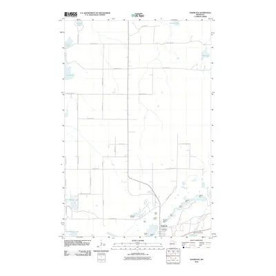
2010 Map of Nashwauk
USGS Topo · Published 2010About this map
Nashwauk is defined by a dense concentration of iron ore mining operations along its southern edge, reflecting the industrial heritage of Minnesota's Mesabi Range. A cluster of workings including the Mace Mine, Hadley Mine, and Hawkins Mine sit adjacent to the town site, illustrating the close proximity between the settlement and the heavy extraction that drove its economy. The Nashwauk Post Office and Nashwauk Cemetery provide established anchor points for the community, while the Nashwauk City Park Camp suggests local recreational space nearby.
Find a feature on this map
48 named features on this map. Tap any name to fly to it.
Don’t see what you’re looking for? This feature index may not catch every label — zoom into the map to look around manually.
Map Details
Editions of this 2010 Nashwauk Map
This is the sole edition of this map. No revisions or reprints were ever made.
Other maps of this area

1919 · Release
USGS Topo · 1:62,500

1920 · Trout Lake
USGS Topo · 1:62,500

1943 · Release
USGS Topo · 1:62,500

1952 · Keewatin
USGS Topo · 1:24,000

1952 · Nashwauk
USGS Topo · 1:24,000

1952 · Silica
USGS Topo · 1:24,000

1952 · Calumet
USGS Topo · 1:24,000

1952 · Pengilly
USGS Topo · 1:24,000

1954 · Hibbing
USGS Topo · 1:250,000

1957 · Hibbing
USGS Topo · 1:250,000