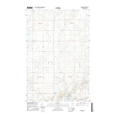
2016 Map of Nashwauk
USGS Topo · Published 2016About this map
The iron-rich landscapes of the Mesabi Range define this region, where the town of Nashwauk serves as a primary hub for mining and settlement. Extensive engineered water systems and landforms such as the Perry-Wyman Tailings Basin and Reservoir Number Four reflect the massive industrial operations that have reshaped the local topography. To the west, the smaller community of Cooley sits near the Nashwauk Cem, marking the intersection of local industry and residency.
Find a feature on this map
51 named features on this map. Tap any name to fly to it.
Don’t see what you’re looking for? This feature index may not catch every label — zoom into the map to look around manually.
Map Details
Editions of this 2016 Nashwauk Map
This is the sole edition of this map. No revisions or reprints were ever made.
Other maps of this area

1919 · Release
USGS Topo · 1:62,500

1920 · Trout Lake
USGS Topo · 1:62,500

1943 · Release
USGS Topo · 1:62,500

1952 · Keewatin
USGS Topo · 1:24,000

1952 · Nashwauk
USGS Topo · 1:24,000

1952 · Silica
USGS Topo · 1:24,000

1952 · Calumet
USGS Topo · 1:24,000

1952 · Pengilly
USGS Topo · 1:24,000

1954 · Hibbing
USGS Topo · 1:250,000

1957 · Hibbing
USGS Topo · 1:250,000