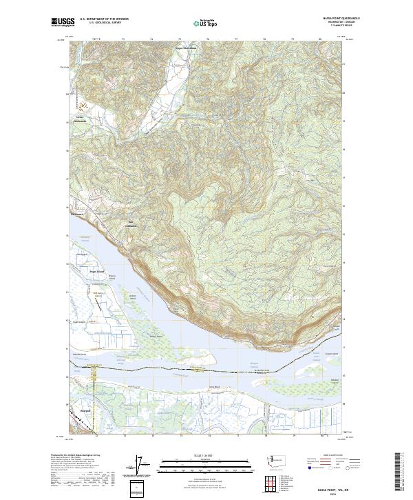
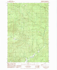
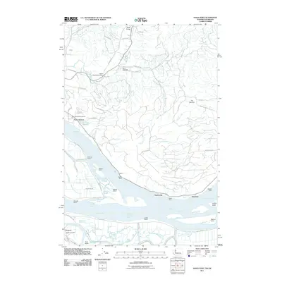
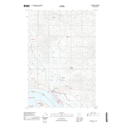
2023 Map of Nassa Point
USGS Topo · Published 2023About this map
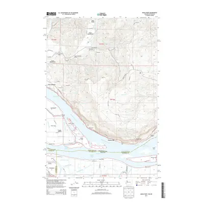
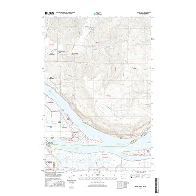
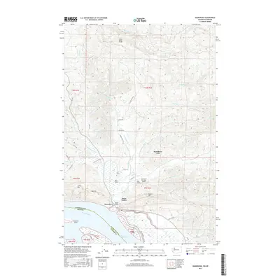
The Columbia River dominates this landscape, serving as a liquid border between Washington and Oregon. The river's complexity is revealed through an intricate system of channels and sloughs, including the Cathlamet Channel and Westport Slough, which weave around prominent landmasses like Puget Island and Wallace Island. These low-lying areas provide critical habitat, notably within the Julia Butler Hansen Refuge for the Columbian White-Tailed Deer.
Find a feature on this map
91 named features on this map. Tap any name to fly to it.
Don’t see what you’re looking for? This feature index may not catch every label — zoom into the map to look around manually.
Map Details
Editions of this 2023 Nassa Point Map
This is the sole edition of this map. No revisions or reprints were ever made.
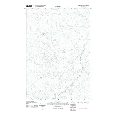
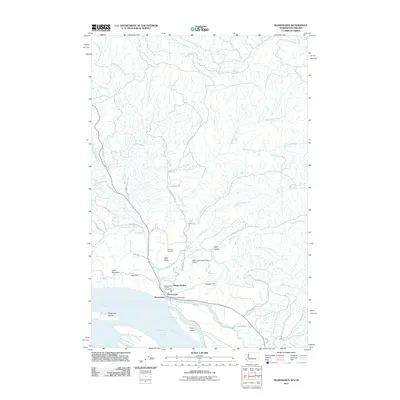
Historical Maps of Cathlamet Through Time
20 maps found

1941 Skamokawa
Wahkiakum County, WA
1953 Skamokawa
Wahkiakum County, WA
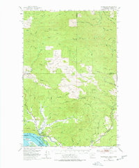
1985 Nassa Point
Wahkiakum County, WA
1985 Shamokawa
Wahkiakum County, WA
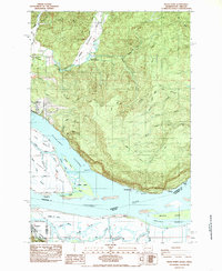
1985 Skamokawa Pass
Wahkiakum County, WA
2011 Nassa Point
Wahkiakum County, WA
2011 Skamokawa Pass
Wahkiakum County, WA
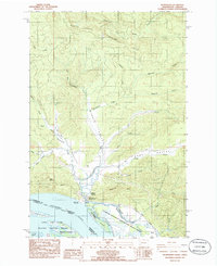
2011 Skamokawa
Wahkiakum County, WA
2013 Skamokawa Pass
Wahkiakum County, WA
2014 Nassa Point
Wahkiakum County, WA
2014 Skamokawa
Wahkiakum County, WA
2017 Nassa Point
Wahkiakum County, WA
2017 Skamokawa Pass
Wahkiakum County, WA
2017 Skamokawa
Wahkiakum County, WA
2020 Nassa Point
Wahkiakum County, WA
2020 Skamokawa Pass
Wahkiakum County, WA
2020 Skamokawa
Wahkiakum County, WA
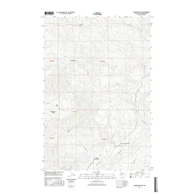
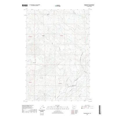
2023 Nassa Point
Wahkiakum County, WA
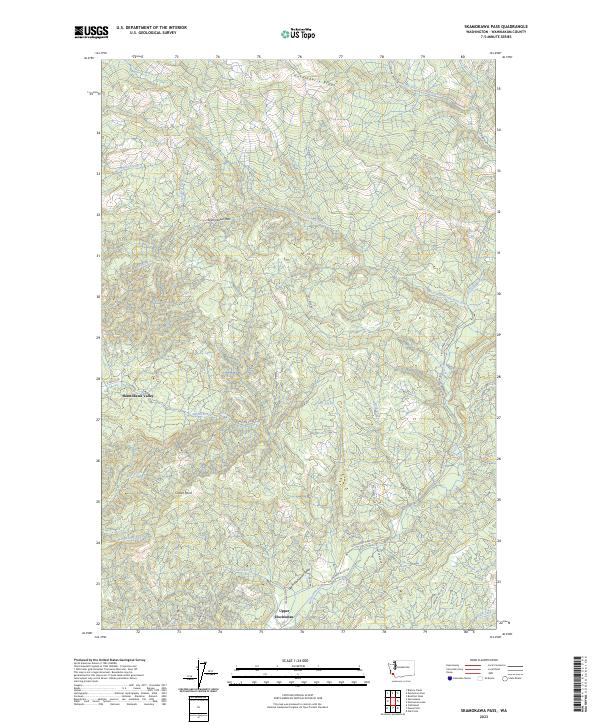
2023 Skamokawa Pass
Wahkiakum County, WA
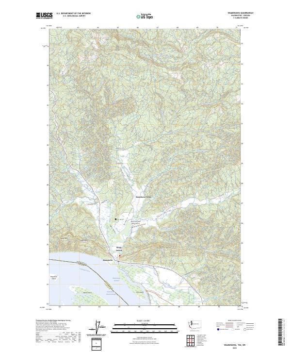
2023 Skamokawa
Wahkiakum County, WA