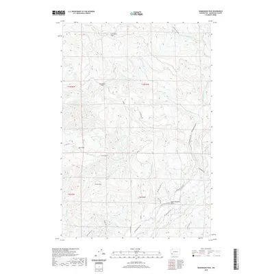
2020 Map of Skamokawa Pass
USGS Topo · Published 2020About this map
Skamokawa Pass serves as a geographic focus in this drainage-heavy portion of Wahkiakum County, where the headwaters of the Elochoman River system carve through the high ground. The terrain is defined by prominent elevations like Huckleberry Ridge and Crown Point, which separate numerous creek valleys. Small settlements such as East Valley and Upper Elochoman Valley are connected by a network of specialized routes, including the Elochoman Mainline and Elochoman Valley Rd. These roads suggest an active timber-based economy, with names like Bradley Truck Trl and Crown Camp Rd marking the movement of resources through the hills. This landscape reveals a complex network of tributaries, from McDonald Cr in the northwest to Duck Cr in the south, illustrating the intricate hydrology of the Pacific Northwest uplands.
Find a feature on this map
36 named features on this map. Tap any name to fly to it.
Don’t see what you’re looking for? This feature index may not catch every label — zoom into the map to look around manually.
Map Details
Editions of this 2020 Skamokawa Pass Map
This is the sole edition of this map. No revisions or reprints were ever made.
Other maps of this area

1919 · Mayger
USGS Topo · 1:62,500

1941 · Skamokawa
USGS Topo · 1:62,500

1941 · Clatskanie
USGS Topo · 1:62,500

1941 · Cathlamet
USGS Topo · 1:62,500

1952 · Clatskanie
USGS Topo · 1:62,500

1953 · Hoquiam
USGS Topo · 1:250,000

1953 · Ryderwood
USGS Topo · 1:62,500

1953 · Skamokawa
USGS Topo · 1:62,500

1953 · Cathlamet
USGS Topo · 1:62,500

1957 · Hoquiam
USGS Topo · 1:250,000