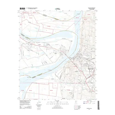
2015 Map of Natchez
USGS Topo · Published 2015About this map
The Mississippi River serves as the central artery and state boundary between Natchez, Mississippi, and Vidalia, Louisiana, in this detailed 2015 study. The river's dynamic nature is evident through features like Giles Cutoff, Carthage Upper Bar, and Natchez Island Bar, which illustrate the constant shifting of the waterway and its surrounding floodplains. On the Mississippi side, the high bluffs overlook the river and are home to deep cultural layers, from the ancient Fatherland Mounds to the grounds of Natchez National Historical Park.
Find a feature on this map
188 named features on this map. Tap any name to fly to it.
Don’t see what you’re looking for? This feature index may not catch every label — zoom into the map to look around manually.
Map Details
Editions of this 2015 Natchez Map
This is the sole edition of this map. No revisions or reprints were ever made.
Other maps of this area

1909 · Sycamore Landing
USGS Topo · 1:24,000

1909 · Vidalia
USGS Topo · 1:24,000

1921 · Natchez
USGS Topo · 1:48,000

1922 · Natchez
USGS Topo · 1:62,500

1939 · Red Gum
USGS Topo · 1:62,500

1939 · Natchez
USGS Topo · 1:62,500

1939 · Kingston
USGS Topo · 1:62,500

1939 · Deer Park
USGS Topo · 1:62,500

1953 · Natchez
USGS Topo · 1:250,000

1956 · Natchez
USGS Topo · 1:250,000