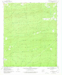
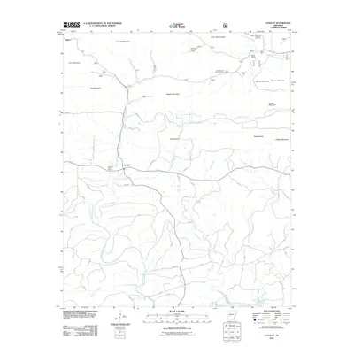
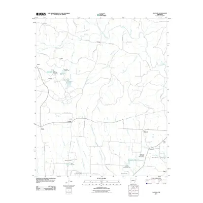
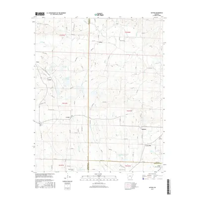
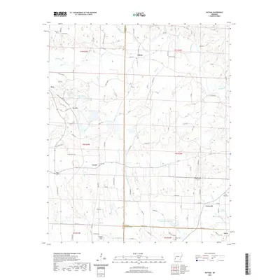
1970 Map of Nathan
USGS Topo · Published 1980About this map
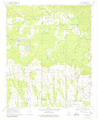
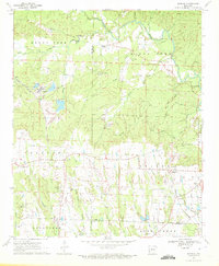
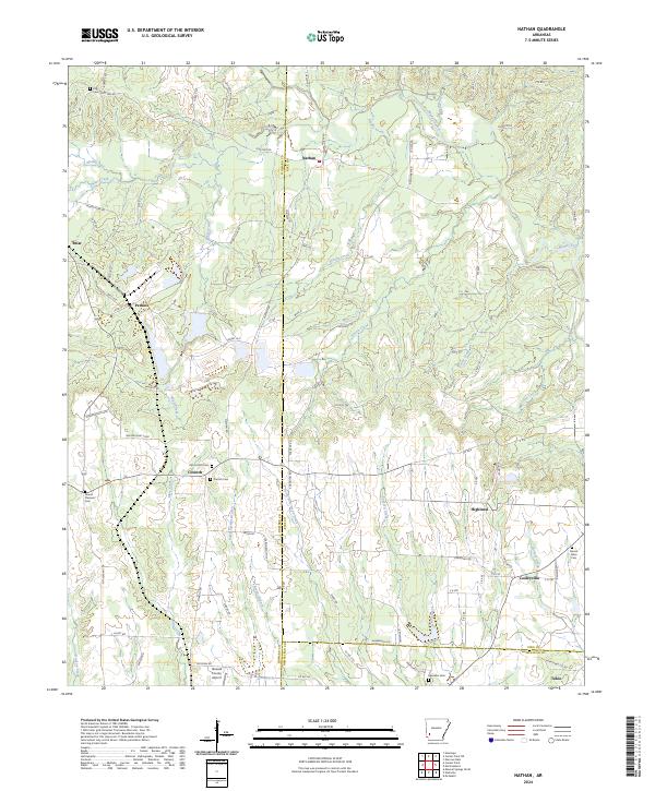
Nathan and Corinth serve as central nodes in this rural Pike County landscape, where the local economy and geography are defined by a complex network of creeks and small-scale extractive operations. The Muddy Fork and its tributaries, including Briar Creek and Bushy Creek, carve through the terrain, supporting timber and mining activities evidenced by numerous Mine and Gravel Pit locations. Transportation patterns reflect an era of shifting infrastructure, with the De Queen and Eastern and Prescott and Northwestern railroads traversing the region alongside remnants of an Old Railroad Grade. This network connects smaller settlements like Highland and Cooleyville to larger transit lines. For genealogists, the map is a primary source for identifying community landmarks, such as Sweet Home Ch and several family or community burial grounds, including Mt Pleasant Cem, Polk Cem, and Biggs Chapel Cem.
Find a feature on this map
55 named features on this map. Tap any name to fly to it.
Don’t see what you’re looking for? This feature index may not catch every label — zoom into the map to look around manually.
Map Details
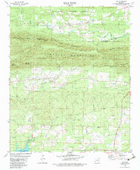
Editions of this 1970 Nathan Map
2 editions found
Historical Maps of Nathan Through Time
37 maps found
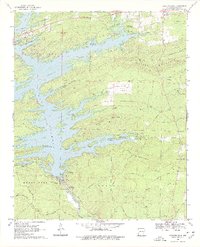
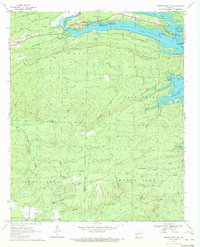
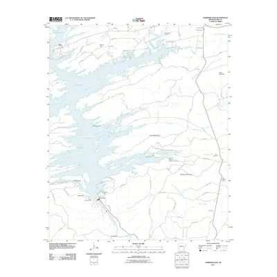
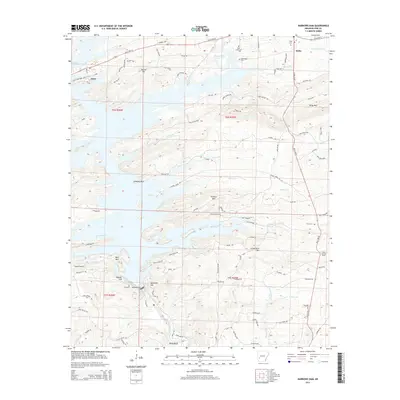
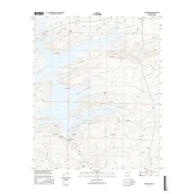
1969 Narrows Dam
Pike County, AR
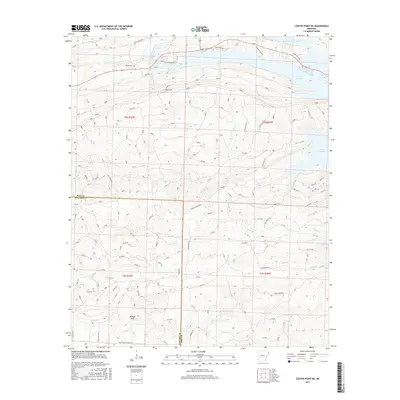
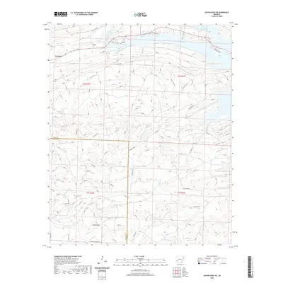
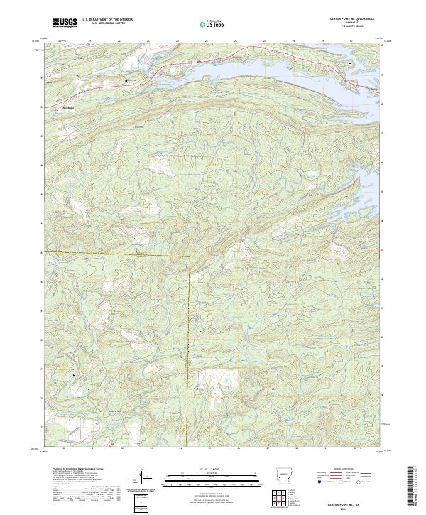
1970 Center Point NE
Pike County, AR
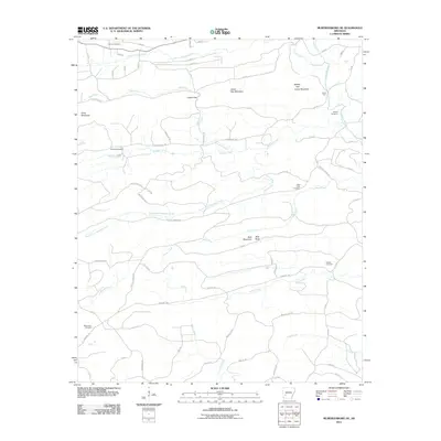
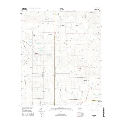
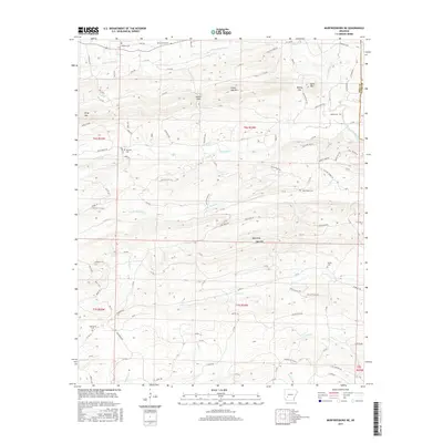
1970 Murfreesboro NE
Pike County, AR
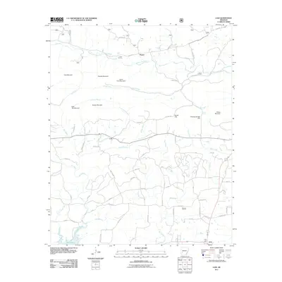
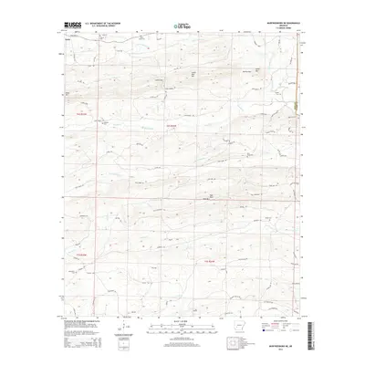
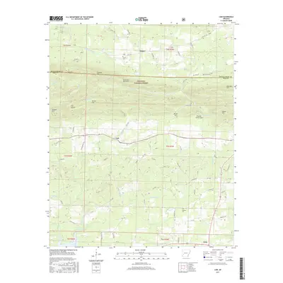
1970 Nathan
Pike County, AR
1979 Lodi
Pike County, AR

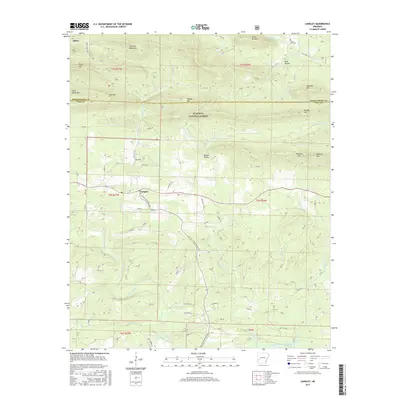
1980 Langley
Pike County, AR
1980 Narrows Dam
Pike County, AR
2011 Center Point NE
Pike County, AR
2011 Langley
Pike County, AR
2011 Lodi
Pike County, AR
2011 Murfreesboro NE
Pike County, AR
2011 Narrows Dam
Pike County, AR
2011 Nathan
Pike County, AR
2014 Center Point NE
Pike County, AR
2014 Langley
Pike County, AR
2014 Lodi
Pike County, AR
2014 Murfreesboro NE
Pike County, AR
2014 Narrows Dam
Pike County, AR
2014 Nathan
Pike County, AR
2017 Center Point NE
Pike County, AR
2017 Langley
Pike County, AR
2017 Lodi
Pike County, AR
2017 Murfreesboro NE
Pike County, AR
2017 Narrows Dam
Pike County, AR
2017 Nathan
Pike County, AR
2020 Center Point NE
Pike County, AR
2020 Langley
Pike County, AR
2020 Lodi
Pike County, AR
2020 Murfreesboro NE
Pike County, AR
2020 Narrows Dam
Pike County, AR
2020 Nathan
Pike County, AR
2024 Center Point NE
Pike County, AR
2024 Langley
Pike County, AR
2024 Lodi
Pike County, AR
2024 Murfreesboro NE
Pike County, AR
2024 Narrows Dam
Pike County, AR
2024 Nathan
Pike County, AR