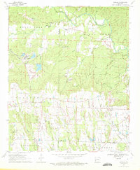
1970 Map of Nathan
USGS Topo · Published 1972About this map
Nathan and Corinth anchor this 1970 snapshot of rural Pike and Howard counties, where a landscape of small settlements is defined by its industrial and agricultural infrastructure. The movement of resources is central to the area, evidenced by the Missouri Pacific and Prescott and Northwestern rail lines, as well as an Old Railroad Grade that speaks to earlier timber or mining routes. Small communities like Highland and Tokio appear alongside numerous family and community landmarks, including Biggs Chapel Cem, Sweet Home Ch, and Mt Pleasant Cem.
Find a feature on this map
48 named features on this map. Tap any name to fly to it.
Don’t see what you’re looking for? This feature index may not catch every label — zoom into the map to look around manually.
Map Details
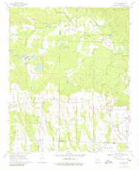
Editions of this 1970 Nathan Map
2 editions found
Other maps of this area

1906 · Caddo Gap
USGS Topo · 1:125,000

1951 · Mineral Springs North
USGS Topo · 1:24,000

1951 · Nashville
USGS Topo · 1:24,000

1951 · McCaskill
USGS Topo · 1:24,000

1953 · El Dorado
USGS Topo · 1:250,000

1955 · Little Rock
USGS Topo · 1:250,000

1956 · Little Rock
USGS Topo · 1:250,000

1957 · El Dorado
USGS Topo · 1:250,000

1958 · El Dorado
USGS Topo · 1:250,000

1960 · El Dorado
USGS Topo · 1:250,000