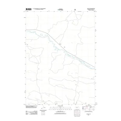
2011 Map of Natick
USGS Topo · Published 2011About this map
The Middle Loup River meanders through the heart of this Thomas County landscape, dictating the local geography as it flows past the small settlement of Natick. This 2011 survey illustrates a sparse ranching environment where the winding waterway is the primary physical landmark. Human presence is largely defined by the agricultural infrastructure of the Nutter Ranch and a network of unpaved paths such as Gaston Rd and Nantick Rd that connect isolated points across the plains. The map reflects the quiet, rural character of the Nebraska Sandhills, focusing on the essential elements of water access and property boundaries in a region where large-scale ranching remains the economic foundation.
Find a feature on this map
6 named features on this map. Tap any name to fly to it.
Don’t see what you’re looking for? This feature index may not catch every label — zoom into the map to look around manually.
Map Details
Editions of this 2011 Natick Map
This is the sole edition of this map. No revisions or reprints were ever made.
Other maps of this area

1948 · Thedford
USGS Topo · 1:62,500

1948 · Halsey
USGS Topo · 1:62,500

1948 · Seneca 4
USGS Topo · 1:62,500

1949 · Seneca 4
USGS Topo · 1:62,500

1949 · Purdum
USGS Topo · 1:62,500

1950 · Thedford
USGS Topo · 1:62,500

1950 · Halsey
USGS Topo · 1:62,500

1951 · Purdum
USGS Topo · 1:62,500

1954 · North Platte
USGS Topo · 1:250,000

1956 · North Platte
USGS Topo · 1:250,000