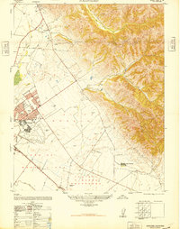
1947 Map of Natividad
USGS Topo · Published 1948About this map
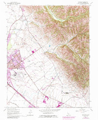
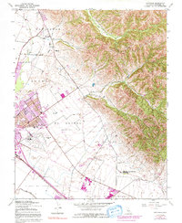
The Gabilan Range rises sharply from the valley floor in this post-war survey of the Monterey County landscape. The mapping reflects a transition in land use, showing the footprint of Salinas Air Base (Abandoned) and a U S Army Radio Station (Abandoned) alongside the institutional presence of Hartnell College and Camp McCallum. Historical land divisions remain visible through the large ranch boundaries of La Natividad, Sausal, and El Alisal (Bernal).
Find a feature on this map
24 named features on this map. Tap any name to fly to it.
Don’t see what you’re looking for? This feature index may not catch every label — zoom into the map to look around manually.
Map Details
Editions of this 1947 Natividad Map
6 editions found
Other maps of this area

1910 · Gonzales
USGS Topo · 1:31,680

1910 · Salinas
USGS Topo · 1:31,680

1912 · Salinas
USGS Topo · 1:62,500

1915 · San Juan Bautista
USGS Topo · 1:48,000

1917 · San Juan Bautista
USGS Topo · 1:62,500

1919 · Hollister
USGS Topo · 1:48,000

1921 · Gonzales
USGS Topo · 1:62,500

1921 · Hollister
USGS Topo · 1:62,500

1923 · Hollister
USGS Topo · 1:62,500

1939 · San Juan Bautista
USGS Topo · 1:62,500