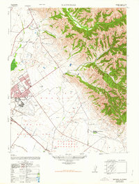
1947 Map of Natividad
USGS Topo · Published 1963About this map
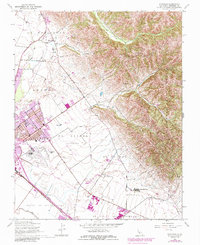
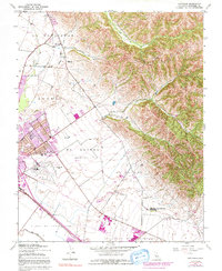
The Gabilan Range rises sharply above the agricultural plains of Monterey County in this 1947 road data survey, illustrating a landscape defined by ranching, early aviation, and military history. Small settlements like Natividad and Alisal anchor a region marked by extensive land grant boundaries, such as Sausal and Alisal (Bernal). The presence of the Southern Pacific railroad and historic thoroughfares like Old Stage Road and Natividad Road highlight the area's role as a transportation corridor between the mountains and the valley floor.
Find a feature on this map
22 named features on this map. Tap any name to fly to it.
Don’t see what you’re looking for? This feature index may not catch every label — zoom into the map to look around manually.
Map Details
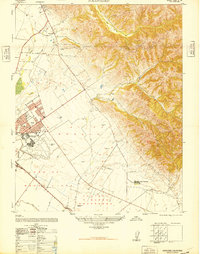
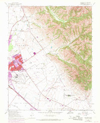
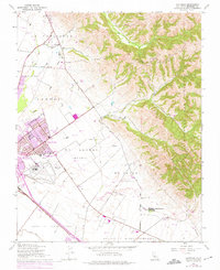
Editions of this 1947 Natividad Map
6 editions found
Other maps of this area

1910 · Gonzales
USGS Topo · 1:31,680

1910 · Salinas
USGS Topo · 1:31,680

1912 · Salinas
USGS Topo · 1:62,500

1915 · San Juan Bautista
USGS Topo · 1:48,000

1917 · San Juan Bautista
USGS Topo · 1:62,500

1919 · Hollister
USGS Topo · 1:48,000

1921 · Gonzales
USGS Topo · 1:62,500

1921 · Hollister
USGS Topo · 1:62,500

1923 · Hollister
USGS Topo · 1:62,500

1939 · San Juan Bautista
USGS Topo · 1:62,500