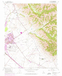
1947 Map of Natividad
USGS Topo · Published 1975About this map
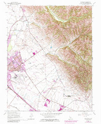
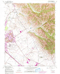
The eastern edges of Salinas expand toward the foothills in this mid-century survey, illustrating the city's transition from agricultural center to a modern municipality. This era shows significant educational infrastructure, including the Hartnell College (East Campus), Alisal High Sch, and numerous local elementary buildings like Bardin Sch and Sanborn Sch. To the north, the historic settlement of Natividad sits near the base of the Cienega Del Gabilan, where Gabilan Creek descends toward the valley floor. Large Mexican land grant boundaries, such as El Alisal (Bernal) and La Natividad, are still clearly marked, reflecting the region's ranching heritage. The landscape is a mix of intensive cultivation and aviation, anchored by the Salinas Municipal Airport and the sprawling greenhouses along Natividad Road.
Find a feature on this map
45 named features on this map. Tap any name to fly to it.
Don’t see what you’re looking for? This feature index may not catch every label — zoom into the map to look around manually.
Map Details
Editions of this 1947 Natividad Map
6 editions found
Other maps of this area

1910 · Gonzales
USGS Topo · 1:31,680

1910 · Salinas
USGS Topo · 1:31,680

1912 · Salinas
USGS Topo · 1:62,500

1915 · San Juan Bautista
USGS Topo · 1:48,000

1917 · San Juan Bautista
USGS Topo · 1:62,500

1919 · Hollister
USGS Topo · 1:48,000

1921 · Gonzales
USGS Topo · 1:62,500

1921 · Hollister
USGS Topo · 1:62,500

1923 · Hollister
USGS Topo · 1:62,500

1939 · San Juan Bautista
USGS Topo · 1:62,500