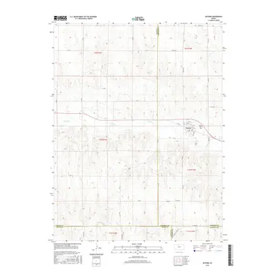
2015 Map of Natoma
USGS Topo · Published 2015About this map
Natoma sits at the heart of this landscape, positioned where the southern edge of Osborne County meets Rooks, Ellis, and Russell counties. The town's grid is detailed down to Koelling St and S Main St, reflecting its role as a local center for the surrounding ranching and agricultural land. The terrain is defined by the winding course of Paradise Creek and the notable rise of Mt Os, while the smaller Eagle Creek drains the northeastern corner. Historical interest is centered on Naomi Cemetery, located just east of the main settlement. The map reveals the intricate network of section-line roads, including W 300th Dr and 280th Ave, which connect the scattered rural homesteads and demarcate the sharp legal boundaries between the four converging counties.
Find a feature on this map
51 named features on this map. Tap any name to fly to it.
Don’t see what you’re looking for? This feature index may not catch every label — zoom into the map to look around manually.
Map Details
Editions of this 2015 Natoma Map
This is the sole edition of this map. No revisions or reprints were ever made.
Other maps of this area

1896 · Osborne
USGS Topo · 1:125,000

1896 · Plainville
USGS Topo · 1:125,000

1955 · Beloit
USGS Topo · 1:250,000

1959 · Beloit
USGS Topo · 1:250,000
1978 · Natoma
USGS Topo · 1:24,000
1978 · Paradise NW
USGS Topo · 1:24,000
1978 · Paradise
USGS Topo · 1:24,000
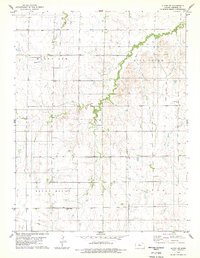
1978 · Alton SW
USGS Topo · 1:24,000
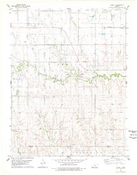
1978 · Codell
USGS Topo · 1:24,000
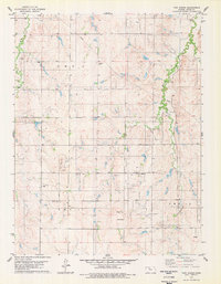
1978 · Twin Mound
USGS Topo · 1:24,000