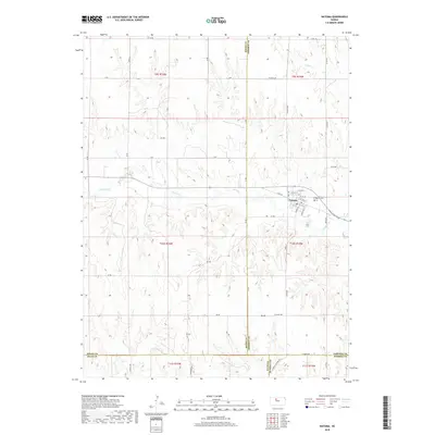
2018 Map of Natoma
USGS Topo · Published 2018About this map
Natoma serves as the central hub of this northern Kansas landscape, where the confluence of several county boundaries—including Rooks, Osborne, Ellis, and Russell—meets in a grid of section roads and rolling drainages. The town plan is clearly defined by a network of streets like N Main St and Koelling St, with the Natoma Cem situated on the eastern outskirts near the winding path of Paradise Cr. The surrounding terrain is marked by agricultural and industrial features, including sites labeled BB Ter and 29 Ter, alongside natural landmarks such as Mt Os. These elements reveal a rural economy tied closely to the land and its resources, where ephemeral waterways like Eagle Cr carve through the high plains topography.
Find a feature on this map
52 named features on this map. Tap any name to fly to it.
Don’t see what you’re looking for? This feature index may not catch every label — zoom into the map to look around manually.
Map Details
Editions of this 2018 Natoma Map
This is the sole edition of this map. No revisions or reprints were ever made.
Other maps of this area

1896 · Osborne
USGS Topo · 1:125,000

1896 · Plainville
USGS Topo · 1:125,000

1955 · Beloit
USGS Topo · 1:250,000

1959 · Beloit
USGS Topo · 1:250,000
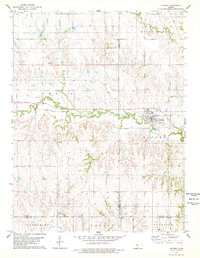
1978 · Natoma
USGS Topo · 1:24,000
1978 · Paradise NW
USGS Topo · 1:24,000
1978 · Paradise
USGS Topo · 1:24,000
1978 · Alton SW
USGS Topo · 1:24,000
1978 · Codell
USGS Topo · 1:24,000
1978 · Twin Mound
USGS Topo · 1:24,000