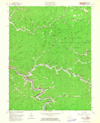
1963 Map of Naugatuck
USGS Topo · Published 1965About this map
Naugatuck sits at the confluence of Pigeon Creek and the Tug River, marking a central hub for the coal and rail operations of the mid-20th century. The Norfolk and Western line winds along the river valley, serving a landscape punctuated by numerous Gas Well and Mine symbols. This survey reveals a high density of small family burial grounds, such as Hensley Cem, Waldron Cem, and Meade Cem, which are tucked into the narrow hollows like Block Hollow and along the ridges. Educational and religious life is anchored by locations such as Wince Block Sch and Old Zion Ch. To the northeast, the terrain shifts from industrial extraction to recreation within the Public Hunting and Fishing Area, which includes Cotiga Lake. The map clearly delineates the Kentucky West Virginia border, illustrating how the rugged topography dictates the placement of settlements like Lenore, Maher, and Blocton.
Find a feature on this map
100 named features on this map. Tap any name to fly to it.
Don’t see what you’re looking for? This feature index may not catch every label — zoom into the map to look around manually.
Map Details
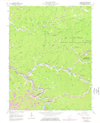
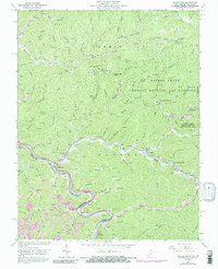
Editions of this 1963 Naugatuck Map
3 editions found
Other maps of this area

1887 · Warfield
USGS Topo · 1:125,000

1891 · Warfield
USGS Topo · 1:125,000

1909 · Matewan
USGS Topo · 1:48,000

1910 · Holden
USGS Topo · 1:48,000

1910 · Naugatuck
USGS Topo · 1:48,000

1912 · Naugatuck
USGS Topo · 1:62,500

1912 · Holden
USGS Topo · 1:62,500

1915 · Williamson
USGS Topo · 1:48,000

1915 · Naugatuck
USGS Topo · 1:48,000

1915 · Matewan
USGS Topo · 1:48,000