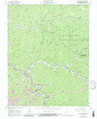
1963 Map of Naugatuck
USGS Topo · Published 1989About this map
The Tug River carves a winding path through the borderlands of Martin Co Mingo Co, defining a landscape where industry and geography are inseparable. In the early 1960s, the Norfolk and Western railroad dominates the river corridor, serving the coal-rich hollows and linking settlements like Naugatuck and Blocton. The map reveals a dense network of local schools and family history, from the Mouth of Long Branch Sch to the Mountain View Memory Gardens and numerous hillside cemeteries like Hensley Cem.
Find a feature on this map
97 named features on this map. Tap any name to fly to it.
Don’t see what you’re looking for? This feature index may not catch every label — zoom into the map to look around manually.
Map Details
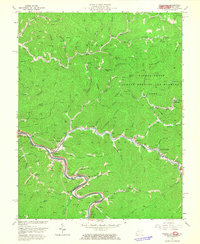
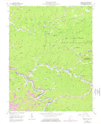
Editions of this 1963 Naugatuck Map
3 editions found
Other maps of this area

1887 · Warfield
USGS Topo · 1:125,000

1891 · Warfield
USGS Topo · 1:125,000

1909 · Matewan
USGS Topo · 1:48,000

1910 · Holden
USGS Topo · 1:48,000

1910 · Naugatuck
USGS Topo · 1:48,000

1912 · Naugatuck
USGS Topo · 1:62,500

1912 · Holden
USGS Topo · 1:62,500

1915 · Williamson
USGS Topo · 1:48,000

1915 · Naugatuck
USGS Topo · 1:48,000

1915 · Matewan
USGS Topo · 1:48,000