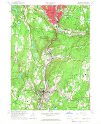
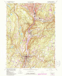
1964 Map of Naugatuck
USGS Topo · Published 1967About this map
Industrial and residential development follows the course of the Naugatuck River in this mid-century survey of New Haven County. The concentrated urban core of Naugatuck is flanked by steep terrain, including Hunters Mountain and Tobys Rock Mountain, much of which is preserved within the Naugatuck State Forest. Transportation is anchored by the New Haven RR and major thoroughfares like Hartford Ave and Rubber Ave, reflecting the town's manufacturing heritage.
Find a feature on this map
91 named features on this map. Tap any name to fly to it.
Don’t see what you’re looking for? This feature index may not catch every label — zoom into the map to look around manually.
Map Details
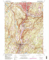
Editions of this 1964 Naugatuck Map
6 editions found
Other maps of this area

1889 · Derby
USGS Topo · 1:62,500

1891 · Derby
USGS Topo · 1:62,500

1892 · New Haven
USGS Topo · 1:62,500

1892 · Meriden
USGS Topo · 1:62,500

1893 · Waterbury
USGS Topo · 1:62,500

1893 · Meriden
USGS Topo · 1:62,500

1893 · Derby
USGS Topo · 1:62,500

1904 · Waterbury
USGS Topo · 1:62,500

1904 · Litchfield
USGS Topo · 1:125,000

1906 · Farmington
USGS Topo · 1:125,000