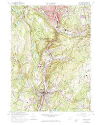
1964 Map of Naugatuck
USGS Topo · Published 1974About this map
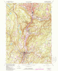
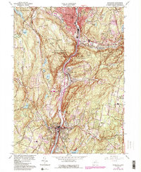
The Naugatuck River valley serves as the industrial and transportation spine for this mid-century Connecticut landscape, where the Penn Central rail line and major highway developments follow the river's winding course. The borough of Naugatuck and the village of Beacon Falls show significant postwar density, while the surrounding hills remain defined by the Naugatuck State Forest. High-elevation landmarks like Tobys Rock Mountain and Beacon Cap overlook a terrain increasingly dotted with gravel extractions, such as the Sand and Gravel Pit near the riverbanks.
Find a feature on this map
71 named features on this map. Tap any name to fly to it.
Don’t see what you’re looking for? This feature index may not catch every label — zoom into the map to look around manually.
Map Details
Editions of this 1964 Naugatuck Map
6 editions found
Other maps of this area

1889 · Derby
USGS Topo · 1:62,500

1891 · Derby
USGS Topo · 1:62,500

1892 · New Haven
USGS Topo · 1:62,500

1892 · Meriden
USGS Topo · 1:62,500

1893 · Waterbury
USGS Topo · 1:62,500

1893 · Meriden
USGS Topo · 1:62,500

1893 · Derby
USGS Topo · 1:62,500

1904 · Waterbury
USGS Topo · 1:62,500

1904 · Litchfield
USGS Topo · 1:125,000

1906 · Farmington
USGS Topo · 1:125,000