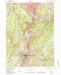
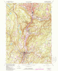
1964 Map of Naugatuck
USGS Topo · Published 1984About this map
The Naugatuck River valley serves as the industrial and transit corridor for this mid-century New Haven County landscape, where the towns of Naugatuck and Seymour anchor the northern and southern reaches. The 1964 revision captures a period of significant change, showing the footprint of Conrail and the modern highway network alongside early infrastructure like the Pipeline. Between the urban centers, the vast Naugatuck State Forest blankets the high ground of Tobys Rock Mountain and Hunters Mountain, preserving a wooded character that contrasts with the dense settlement of Union City and Millville.
Find a feature on this map
90 named features on this map. Tap any name to fly to it.
Don’t see what you’re looking for? This feature index may not catch every label — zoom into the map to look around manually.
Map Details
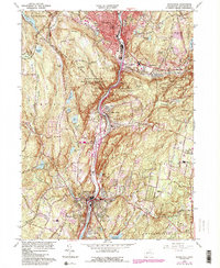
Editions of this 1964 Naugatuck Map
6 editions found
Other maps of this area

1889 · Derby
USGS Topo · 1:62,500

1891 · Derby
USGS Topo · 1:62,500

1892 · New Haven
USGS Topo · 1:62,500

1892 · Meriden
USGS Topo · 1:62,500

1893 · Waterbury
USGS Topo · 1:62,500

1893 · Meriden
USGS Topo · 1:62,500

1893 · Derby
USGS Topo · 1:62,500

1904 · Waterbury
USGS Topo · 1:62,500

1904 · Litchfield
USGS Topo · 1:125,000

1906 · Farmington
USGS Topo · 1:125,000