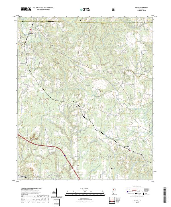
2024 Map of Nauvoo
USGS Topo · Published 2024About this map
Nauvoo and its surrounding communities sit at the intersection of Winston Co and Walker Co, showing a landscape defined by the drainage basins of Blackwater Creek and Lost Creek. This modern survey reveals a dense network of family-named roads and landmarks, particularly in the northern reaches where the William B. Bankhead National Forest borders the rural settlements of Prospect and Saragossa.
Find a feature on this map
129 named features on this map. Tap any name to fly to it.
Don’t see what you’re looking for? This feature index may not catch every label — zoom into the map to look around manually.
Map Details
Editions of this 2024 Nauvoo Map
This is the sole edition of this map. No revisions or reprints were ever made.
Other maps of this area

1893 · Jasper
USGS Topo · 1:125,000

1949 · Townley
USGS Topo · 1:24,000

1949 · Jasper
USGS Topo · 1:24,000

1949 · Manchester
USGS Topo · 1:24,000

1949 · Nauvoo
USGS Topo · 1:24,000

1950 · Nauvoo
USGS Topo · 1:24,000

1950 · Manchester
USGS Topo · 1:24,000

1951 · Jasper
USGS Topo · 1:24,000

1951 · Townley
USGS Topo · 1:24,000

1953 · Birmingham
USGS Topo · 1:250,000