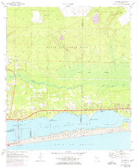
1970 Map of Navarre
USGS Topo · Published 1977About this map
Navarre and Wynnehaven Beach sit as coastal anchors along the northern edge of the Santa Rosa Sound in this mid-1970s topographic record. The landscape is defined by the sharp transition between the residential growth along the shore and the sprawling pine and scrub lands of the Eglin Air Force Base reservation to the north. A Toll Bridge connects the mainland to Santa Rosa Island, where the development of Navarre Beach is shown nestled between high dunes and the open Gulf of Mexico.
Find a feature on this map
36 named features on this map. Tap any name to fly to it.
Don’t see what you’re looking for? This feature index may not catch every label — zoom into the map to look around manually.
Map Details
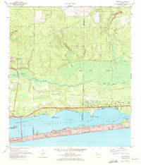
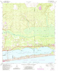
Editions of this 1970 Navarre Map
3 editions found
Other maps of this area

1921 · Holley
USGS Topo · 1:62,500

1934 · Holt
USGS Topo · 1:48,000

1934 · Harold
USGS Topo · 1:62,500

1936 · Holley
USGS Topo · 1:48,000

1937 · Holt
USGS Topo · 1:62,500

1937 · Harold
USGS Topo · 1:62,500

1938 · Mary Esther
USGS Topo · 1:62,500

1938 · Holley
USGS Topo · 1:62,500

1938 · Harold
USGS Topo · 1:62,500

1956 · Fort Walton Beach
USGS Topo · 1:62,500