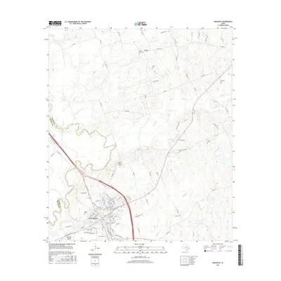
2016 Map of Navasota
USGS Topo · Published 2016About this map
The Navasota city grid sits at the confluence of transport and terrain in this east-central Texas landscape. The city's residential and commercial growth extends from its historical center toward the Navasota River, which marks the boundary between Brazos and Grimes counties. The rural landscape to the north and east is dotted with small family and community burying grounds, including Steele Grove Cem, Erwin Cem, and Berryman Cem, indicating generations of local land ownership. To the north, the small settlement of Erwin is connected by a web of county roads and farm-to-market routes like FM 3090. Regional aviation is represented by two facilities: the Navasota Municipal Airport south of town and the smaller Bridle Ridge Airport situated further north. The hydrological network is defined by numerous creeks such as Holland Cr and Spring Cr that feed into the river basin.
Find a feature on this map
111 named features on this map. Tap any name to fly to it.
Don’t see what you’re looking for? This feature index may not catch every label — zoom into the map to look around manually.
Map Details
Editions of this 2016 Navasota Map
This is the sole edition of this map. No revisions or reprints were ever made.
Other maps of this area

1913 · Millican
USGS Topo · 1:31,680

1914 · Navasota
USGS Topo · 1:62,500

1954 · Beaumont
USGS Topo · 1:250,000

1954 · Austin
USGS Topo · 1:250,000

1956 · Carlos
USGS Topo · 1:62,500

1957 · Beaumont
USGS Topo · 1:250,000

1958 · Washington
USGS Topo · 1:24,000

1958 · Navasota
USGS Topo · 1:24,000

1958 · Courtney
USGS Topo · 1:24,000

1959 · Millican
USGS Topo · 1:24,000