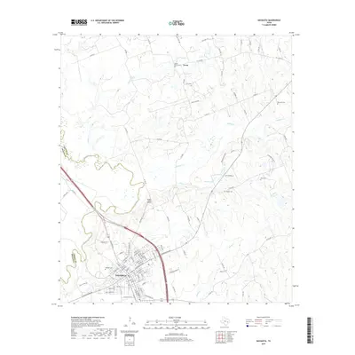
2019 Map of Navasota
USGS Topo · Published 2019About this map
Navasota serves as the focal point of this survey, positioned at the convergence of the Navasota River and its various tributaries in southeastern Texas. The landscape is defined by the winding paths of Holland Cr, Spring Cr, and Turkey Cr, which drain into the river valley. In the northern reaches, the small settlement of Erwin sits near Steele Grove Cem, one of several burial grounds that provide significant genealogical data for the region. The map captures a mix of residential expansion and rural land use, with Bridle Ridge Airport established northeast of the city center. Family-named sites like Neblett Cem and Berryman Cem are scattered across the terrain, indicating the deep-rooted landholdings that characterize this portion of Grimes County. Notable natural features like Prescott Lake and the distinctive Red Gully further define the local topography during this modern period of documentation.
Find a feature on this map
102 named features on this map. Tap any name to fly to it.
Don’t see what you’re looking for? This feature index may not catch every label — zoom into the map to look around manually.
Map Details
Editions of this 2019 Navasota Map
This is the sole edition of this map. No revisions or reprints were ever made.
Other maps of this area

1913 · Millican
USGS Topo · 1:31,680

1914 · Navasota
USGS Topo · 1:62,500

1954 · Beaumont
USGS Topo · 1:250,000

1954 · Austin
USGS Topo · 1:250,000

1956 · Carlos
USGS Topo · 1:62,500

1957 · Beaumont
USGS Topo · 1:250,000

1958 · Washington
USGS Topo · 1:24,000

1958 · Navasota
USGS Topo · 1:24,000

1958 · Courtney
USGS Topo · 1:24,000

1959 · Millican
USGS Topo · 1:24,000