Loading...
Loading map...2022 Map of Navasota
USGS Topo · Published 2022About this map
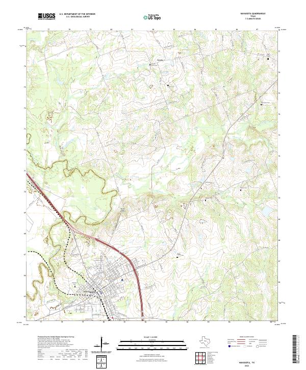
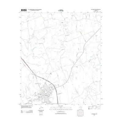
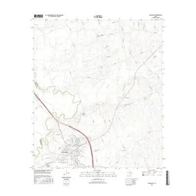
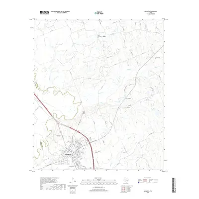
The Navasota city center sits at the confluence of several major transit corridors, marking a landscape where the river valley meets the upland plateaus of eastern Texas. In this 2022 survey, the city's street grid is clearly defined, reaching toward the Navasota River which forms the border with Brazos County. To the northeast, the settlement of Erwin and the nearby Bridle Ridge Airport indicate the rural residential expansion common in this part of Grimes County.
Find a feature on this map
119 named features on this map. Tap any name to fly to it.
Don’t see what you’re looking for? This feature index may not catch every label — zoom into the map to look around manually.
Map Details
Date Portrayed2022
Date Published2022
PublisherU.S. Geological Survey
Map TypeTopographic
Scale1:24,000
Physical Dimensions24 x 29 inches
Editions of this 2022 Navasota Map
This is the sole edition of this map. No revisions or reprints were ever made.
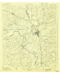
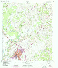
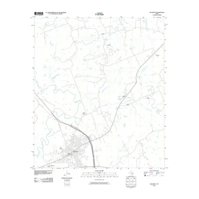
Historical Maps of Navasota Through Time
7 maps found
Featured Locations
Source Details
SourceU.S. Geological Survey
CopyrightPublic Domain