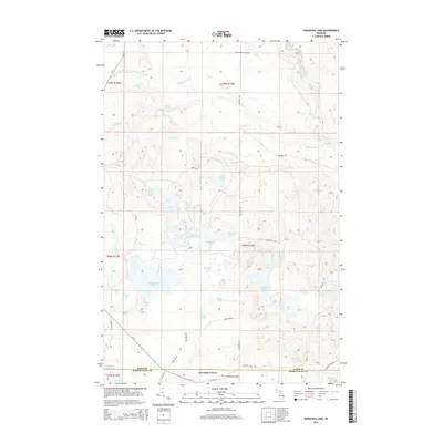
2014 Map of Nawakwa Lake
USGS Topo · Published 2014About this map
Lavender Corner serves as a lone point of settlement in this densely forested and lake-filled landscape near the Alger and Schoolcraft County line. The terrain is defined by a complex network of glacial hydrology, dominated by the Sucker River and its various branches, alongside a high density of named water bodies like Nawakwa Lake, Mellen Lake, and Sullivan Lake.
Find a feature on this map
50 named features on this map. Tap any name to fly to it.
Don’t see what you’re looking for? This feature index may not catch every label — zoom into the map to look around manually.
Map Details
Editions of this 2014 Nawakwa Lake Map
This is the sole edition of this map. No revisions or reprints were ever made.
Other maps of this area

1931 · Seney NW
USGS Topo · 1:31,680

1931 · Driggs Lake NE
USGS Topo · 1:31,680

1954 · Sault Sainte Marie
USGS Topo · 1:250,000

1956 · Sault Sainte Marie
USGS Topo · 1:250,000

1957 · Sault Sainte Marie
USGS Topo · 1:250,000

1958 · Sault Sainte Marie
USGS Topo · 1:250,000

1958 · Marquette
USGS Topo · 1:250,000

1960 · Marquette
USGS Topo · 1:250,000

1961 · Marquette
USGS Topo · 1:250,000

1966 · Au Sable Point SE
USGS Topo · 1:24,000