2022 Map of Nazareth
USGS Topo · Published 2022About this map
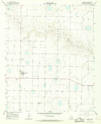
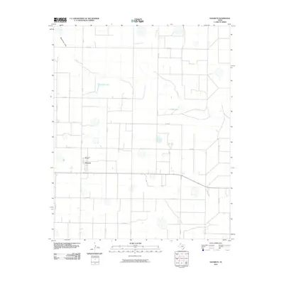
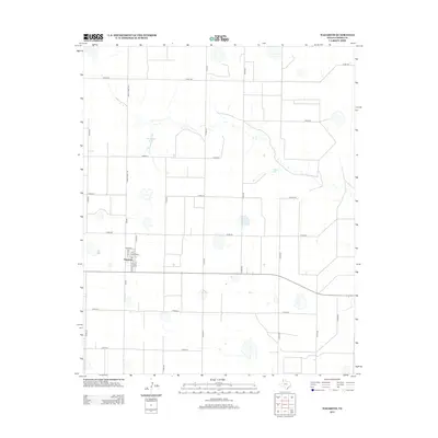
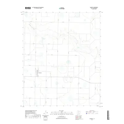
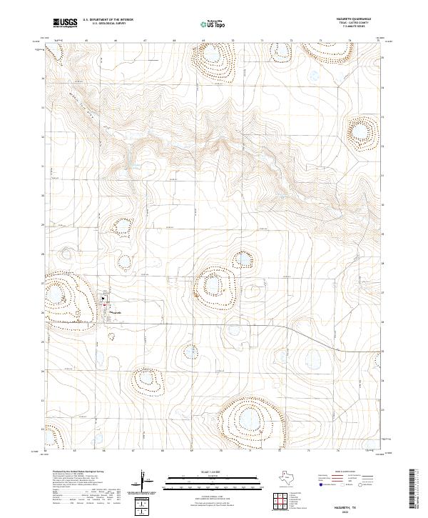
Nazareth serves as the central hub of this High Plains landscape, situated at the intersection of Fm 168 and various county roads that define the region's agricultural grid. The town is anchored by its local landmarks, including the Holy Family Cem and a small network of residential streets such as S St Marys St and N 1st St. This area of Castro County is defined by its subtle drainage patterns and seasonal water bodies, which are critical features in this semi-arid environment. The meandering path of Middle Tule Draw cuts across the northern half of the quadrangle, creating a distinct topographical depression amidst the surrounding plains. To the north and east of the townsite, Schwalker Lake and Cosby Lake appear as notable basins, reflecting the characteristic playa lake formations found throughout this part of the Texas Panhandle.
Find a feature on this map
25 named features on this map. Tap any name to fly to it.
Don’t see what you’re looking for? This feature index may not catch every label — zoom into the map to look around manually.
Map Details
Editions of this 2022 Nazareth Map
This is the sole edition of this map. No revisions or reprints were ever made.
Historical Maps of Nazareth Through Time
6 maps found