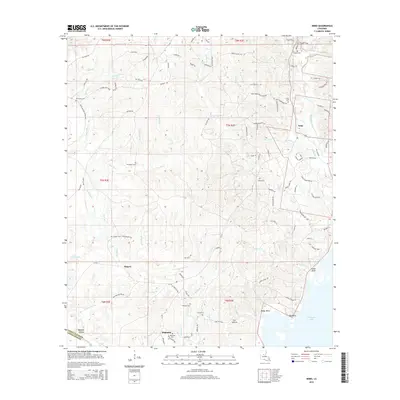
2015 Map of Nebo
USGS Topo · Published 2015About this map
Catahoula Lake dominates the southeast corner of this landscape, where the waters of Indian Cr and Whiskey Run meet the shore at Big Point. This 2015 topographic record reflects a rural region shaped by both its hydraulic network and its industrial infrastructure, with numerous Oil Field Rd segments and drilling sites scattered across the hills. The small communities of Nebo, Rogers, and Magnolia serve as the primary anchors for local history and genealogy. A remarkable concentration of family and community burial grounds is evident, from Hurricane Cem in the northwest to Norris Cem further south. The drainage patterns of Hurricane Cr, Kitterlin Cr, and Thompson Br illustrate the intricate creek systems that feed into the larger river basin at the LaSalle Parish and Grant Parish line.
Find a feature on this map
109 named features on this map. Tap any name to fly to it.
Don’t see what you’re looking for? This feature index may not catch every label — zoom into the map to look around manually.
Map Details
Editions of this 2015 Nebo Map
This is the sole edition of this map. No revisions or reprints were ever made.
Other maps of this area

1936 · Pollock
USGS Topo · 1:62,500

1941 · Jena
USGS Topo · 1:62,500

1941 · Alexandria
USGS Topo · 1:62,500

1941 · Buckeye
USGS Topo · 1:62,500

1941 · Pollock
USGS Topo · 1:62,500

1953 · Alexandria
USGS Topo · 1:250,000

1955 · Alexandria
USGS Topo · 1:250,000

1957 · Alexandria
USGS Topo · 1:62,500

1958 · Pollock
USGS Topo · 1:62,500

1958 · Jena
USGS Topo · 1:62,500