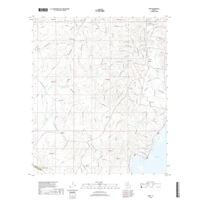
2018 Map of Nebo
USGS Topo · Published 2018About this map
The lowlands of north-central Louisiana meet the edge of Catahoula Lake in this detailed survey of the area around Nebo. The landscape is defined by an intricate network of waterways, including Hemphill Creek and Horsepen Cr, which drain the varied terrain of Deville Hill and the many hollows like Carr Hollow and Mayhew Hollow. The presence of numerous petroleum-related labels, such as Oil Field Rd and D C Tank Battery Rd, indicates the area's ongoing connection to the regional energy industry.
Find a feature on this map
128 named features on this map. Tap any name to fly to it.
Don’t see what you’re looking for? This feature index may not catch every label — zoom into the map to look around manually.
Map Details
Editions of this 2018 Nebo Map
This is the sole edition of this map. No revisions or reprints were ever made.
Other maps of this area

1936 · Pollock
USGS Topo · 1:62,500

1941 · Jena
USGS Topo · 1:62,500

1941 · Alexandria
USGS Topo · 1:62,500

1941 · Buckeye
USGS Topo · 1:62,500

1941 · Pollock
USGS Topo · 1:62,500

1953 · Alexandria
USGS Topo · 1:250,000

1955 · Alexandria
USGS Topo · 1:250,000

1957 · Alexandria
USGS Topo · 1:62,500

1958 · Pollock
USGS Topo · 1:62,500

1958 · Jena
USGS Topo · 1:62,500